County funds expanded monitoring after geotechnical report finds Seal Cove landslide advancing
Get AI-powered insights, summaries, and transcripts
Subscribe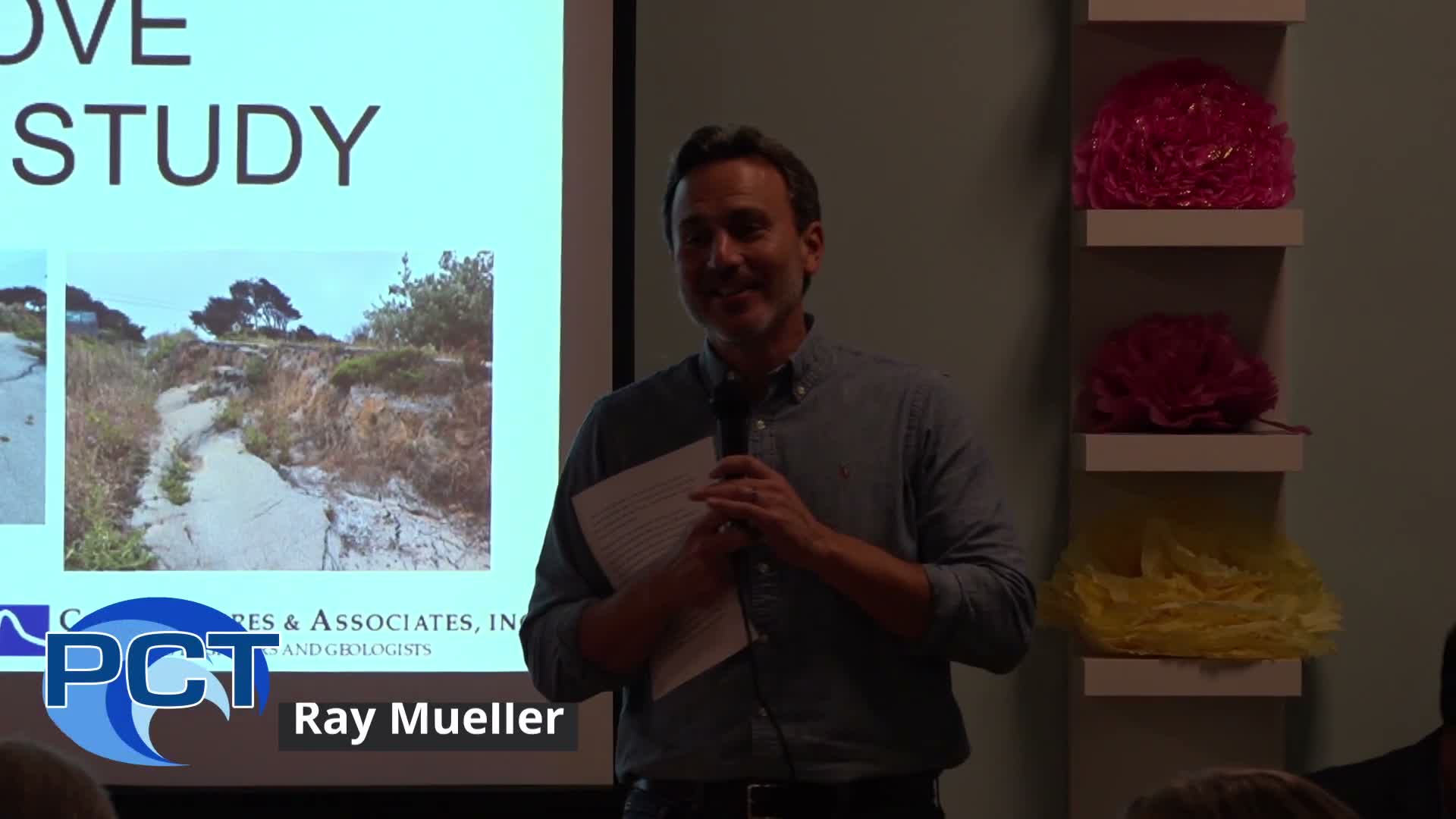
Summary
County officials and consultants told Seal Cove residents an updated geotechnical study shows the active landslide has expanded and continues to move; the county pledged funding for surface monitoring (monuments and drones) and a groundwater study and will pursue map updates and public review before any regulatory changes.
Supervisor Ray Mueller said the county would press ahead with monitoring and preliminary planning after an updated geotechnical study showed the active Seal Cove landslide has expanded and continues to move toward the ocean.
"We're going to be using land monuments and drones to do active surface monitoring," Mueller said at a public briefing; he added he had worked with the county executive to secure "half $1,000,000" in funding to start monitoring and to hire a consultant to study groundwater management.
The consulting team from Cotton Shires and Associates presented the study and described its methods and findings. The lead presenter said long-term surface surveys at a nearby distillery show lateral movement of about "2.7 inches per year," which rose to roughly 3.3 inches per year during the high-precipitation 2023 year. The consultant also said "the landslides recently expanded about 100 feet to the south" and stressed that subsurface data are sparse, limiting confidence in models of deep failure surfaces.
Why it matters: county and state permitting, road safety and homeowners' decisions depend on whether the slide can be stabilized, whether buildings should be allowed in specific zones and what emergency measures are needed. The county said the report's updated hazard maps expand Zone 1 (the least stable area) and recommend retaining fault-investigation requirements for Zones 2 and 3.
What the county will do next
- Monitoring and studies: Mueller and county staff said the near-term work will include expanded surface monitoring (survey monuments and drone surveys) to provide more frequent updates, and a groundwater/surface-drainage study to inform potential mitigation. "We want to increase the rate of monitoring so we can provide more timely updates to the community," said Steve Monowitz, director of planning and building.
- Policy and permitting: Monowitz said the county will prepare a Local Coastal Program (LCP) amendment to implement the revised hazard map; that amendment must go through the planning commission and Board of Supervisors and will be submitted for Coastal Commission review.
- Roads and public works: Department of Public Works deputy director Christophe Lisai said the department will use the hazard-risk map to prioritize maintenance and develop technical guidance for roadway repair and closure and will coordinate any drainage work with state regulators because parts of the area lie within the Fitzgerald Marine Reserve.
Community concerns and expert suggestions
Residents voiced a mix of technical suggestions and broader concerns. Resident and geotechnical consultant Stacy Sable urged immediate coordination with PG&E about a gas line in Zone 1 and recommended armoring the toe of the bluff in a northwest sector as an interim measure. "There's a gas line PG and E gas line right in Zone 1 that we don't want to become another San Bruno explosion area," Sable said.
Other residents argued the slide reflects a natural, long-running coastal process and questioned large expenditures. Cliff Voss, a retired U.S. Geological Survey hydrogeologist, said the bluff has been retreating for millennia and criticized further study as unnecessary: "This isn't just a landslide. It's a process that's been going on for thousands of years." Supervisor Mueller responded that the county's role is to gather data that could identify cost-effective measures and to give residents information to make choices about investments.
Data gaps and limits
Consultants repeatedly emphasized limited subsurface data: there are few borings that define the base of the landslide and some inclinometer casings have sheared off; a piezometer wire at one site continues to provide groundwater readings. Because of that scarcity, the consultants said they could not definitively say whether groundwater change or toe erosion is the dominant trigger without further, costly characterization.
No formal actions taken
No motions or votes were taken at the meeting. County staff said they have secured initial funding to begin monitoring and will return with proposals, technical guidance and an LCP amendment to be reviewed through the normal public process.
The county asked residents to report roadway distress (new or widening cracks, sudden settlement, blocked ditches or inlets) through the county's ticketing system (MaidStar) and to stay engaged as the monitoring and planning work proceeds.