Santa Barbara Airport committee reviews climate adaptation plan emphasizing near-term flood measures
Loading...
Summary
City staff and consultants presented a draft climate adaptation plan for Santa Barbara Airport focused on near-term measures — berms, floodplain restoration and channel improvements — to reduce increasingly frequent storm flooding; the plan calls for costing three priority actions and further feasibility studies.
Santa Barbara City staff and outside consultants on Monday presented a draft Climate Adaptation Plan for Santa Barbara Airport that prioritizes near-term measures to reduce flood risk from intense rainfall and creek overflows.
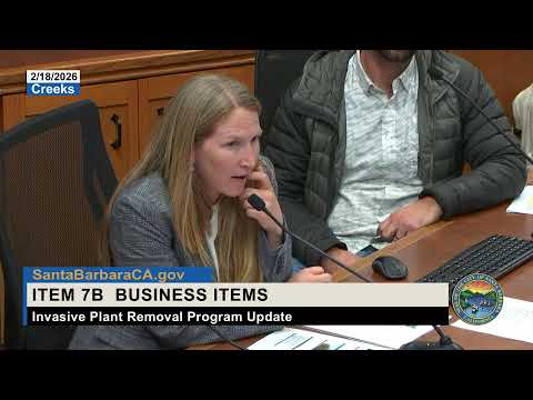
"We're looking at what we could do in the immediate near term to assuage the flooding problems we've had at the airport," said Jessica Metzger, the airport project planner managing the plan, as she opened the presentation. Metzger said the vulnerability assessment supporting the plan was a two-year effort and that the materials are available online.
The plan maps airport assets and models hazards including historic and recent flooding, altered creek capacity and sea-level rise. Metzger noted the airport closed three times during recent storms — twice in 2025 and once in 2026 — and that precipitation modeling shows events that historically occurred every 20 years could occur as often as every five years going forward.
Consultant Nick Garrity described a menu of near-term adaptation measures focused on the Goleta Slough and creeks that drain to the airport: replacing temporary K-rail with a permanent vegetated earth berm on Carneros Creek, restoring floodplain north of Carneros Creek (lowering grades, removing sediment and realigning the channel), and creating detention basins and sediment-management strategies such as dredge-and-spray. On-site measures include pump systems, detention or infiltration galleries where groundwater allows, targeted flood walls and raising critical building elevations.
Garrity said the plan separates actions by time horizon. "We are focusing on the near term in terms of identifying the measures the city can move forward with now to address the ongoing flooding," he said, noting the vulnerability assessment also considers longer time frames up to 2090 when higher sea-level scenarios would substantially increase risk.
The consultants proposed to cost out three near-term measures to build a range of estimated expenses and inform next steps: (1) a berm along Carneros Creek, (2) restoring wetland floodplain north of Carneros Creek, and (3) improvements to the Firestone Road Channel. Garrity emphasized that these cost estimates would be followed by feasibility studies including hydraulic analysis and permitting requirements.
Presenters stressed regulatory complexity and the need for coordination. Metzger said permitting for on-site work will involve the California Coastal Commission, the U.S. Army Corps of Engineers, the Regional Water Quality Control Board and the California Department of Fish and Wildlife. She also pointed to regional efforts and grants — including a Coastal Commission grant and a UCSB tidal-restoration project — that could affect system-level resilience beyond the airport parcel.
Committee members questioned the plan's near-term focus and how it connects to long-term strategies. "When will this plan be incorporated into what clearly needs to be a long-term implementation process?" asked Committee member Lori Gaskin. Garrity replied that the vulnerability assessment looks to 2090 and identifies long-term options but prioritizes near-term measures because flooding thresholds have already been exceeded.
Several members sought technical clarifications about sediment handling and coordination with the county. Presenters said most county-dredged sand downstream of Hollister has been tested and placed on Goleta Beach, while material removed from Carneros Creek by the airport is loamier and would require a different handling process if reused in wetland restoration.
The consultants also described mid- and long-term options that would require broad coordination, such as large-scale levee or flood-control systems upstream, elevating the airfield and, in the most extreme scenarios, regional air-service solutions. Garrity said such projects would be large, complex and require city and county participation.
The committee received the presentation and asked staff to advance costing and feasibility work on the identified near-term measures. The presentation concluded with no formal vote on the plan; the committee moved on to the next agenda item.
Next steps: consultants will develop conceptual plans and more detailed cost estimates for the three measures and pursue required hydraulic studies and permitting.