Council defers frontage and access code amendment after planning presentation
Get AI-powered insights, summaries, and transcripts
Subscribe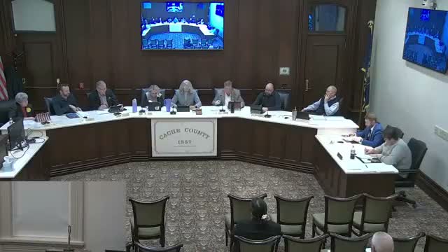
Summary
Planning staff presented a proposal to combine conflicting frontage definitions and clarify required frontage depth and primary access; council asked questions about variance standards, enforcement and recorded ties to occupancy, then deferred the matter to March 10 for further review.
Planning staff presented a proposed amendment to county code intended to resolve two conflicting definitions of lot frontage and to clarify the required frontage depth used for utilities, mailboxes, drainage and emergency access.
Angie (planning staff) showed images of parcels using narrow “neck” accesses to meet frontage minimums and explained the proposal: combine the two existing definitions into a single, clearer frontage definition and add a table entry to set minimum depth for frontage so addresses, utilities and emergency access are predictable. She said the change would apply to specific rural zone types (A10, RU2, RU5) and that variances would remain available through a director-level process under state standards.
Council members pressed staff on enforcement, how the change would affect existing lots and sales, and fire-district access standards. Angie confirmed the fire district requires a minimum 20-foot all-weather access and that occupancy and address assignment are tied to the approved access; if a property owner later relied on an alternate, unapproved access, they could face code enforcement and civil consequences. The planning commission had recommended the change (6–0), and staff described exemptions and a variance process for special circumstances.
The council placed the amendment on pending for March 10 to allow more review and to ensure the definitions, variance standards, and recording/occupancy mechanics are clarified before action.