Get Full Government Meeting Transcripts, Videos, & Alerts Forever!
Get email alerts on the Land Use Annexation topic
No spam. Unsubscribe anytime.
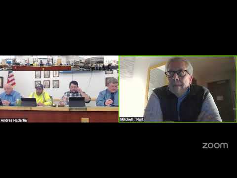
Soda Springs council annexes Marsh LLC parcel and zones it C‑2; owner to provide survey
Summary
The council voted to annex a Marsh LLC parcel (Township 09 S, Range 41 E, Parcel 124800) into city limits and to zone it C‑2. Council also directed that the property owner provide a licensed survey and suggested the owner pay resurvey/engineering costs per statute.
Soda Springs — The City Council voted to annex a Marsh LLC parcel described in council records as Township 09 S, Range 41 East, Parcel Number 124800 and to zone the newly annexed property C‑2, a commercial designation.
A council member moved to annex the parcel and to require the current owner to provide a licensed survey showing the change to city limits; another member seconded and the motion carried with members responding "Aye." After the annexation motion, council approved a separate motion to designate the parcel C‑2 to match adjacent zoning.
During deliberations a council member noted a discrepancy between the parcel notation on the agenda and the parcel description provided at the meeting and a colleague confirmed the correct township/range/parcel sequence before the vote. A city staff member advised the council that, "under the statute, the city can require the property owner to pay those engineering costs to get it surveyed," and recommended that requirement be included in the motion.
The motions included procedural clarifications that the annexation and rezoning were presented as separate but related actions because the parcels and applications were filed together and are adjacent and share the same owner. No written public comments were reported to the city clerk for the public hearing held on the rezoning; no members of the public offered testimony during the hearing on this agenda item.
Council did not specify a timetable for implementation beyond requiring the licensed survey; staff indicated they will provide a list of surveyors and will submit required information to the state tax commission as part of the annexation process.
The council’s actions close the local approval steps for annexation and zoning; any further administrative filings (resurvey, state notifications) remain the responsibility of the property owner per the council instructions.
What happens next: city staff will provide the property owner with a list of recommended surveyors and the survey details required for the state tax commission; the council’s ordinance reflecting the annexation and zoning change will follow standard administrative processing.