Get Full Government Meeting Transcripts, Videos, & Alerts Forever!
Get email alerts on the Drought And Snowpack topic
No spam. Unsubscribe anytime.
Washington agencies warn of low mountain snowpack despite wet winter precipitation
Summary
State climate and water officials told the Columbia River Policy Advisory Group that warm, rain‑dominated December storms produced high precipitation but left mountain snowpack well below normal — statewide snow water equivalent is roughly 58–59% of median — raising drought concerns for spring and summer 2026.
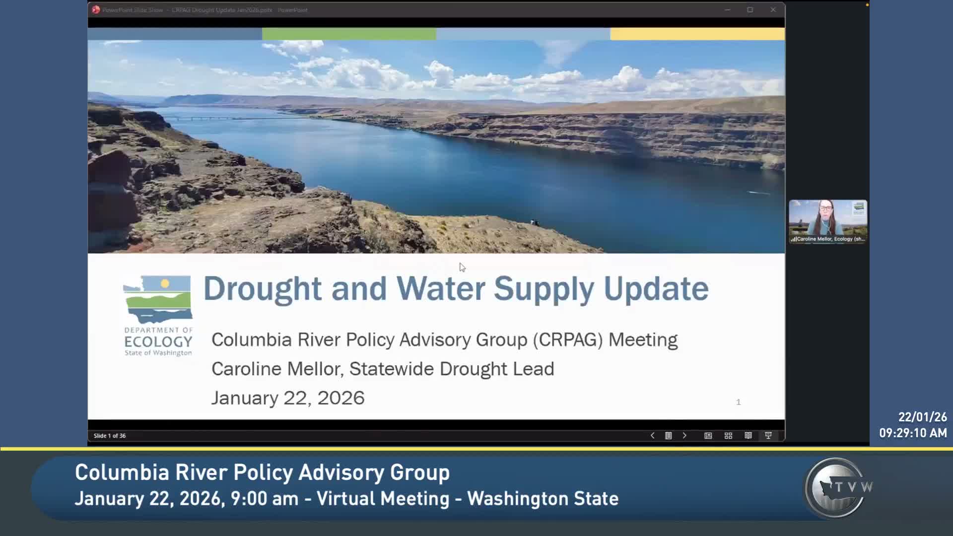
Caroline Miller, Ecology’s statewide drought lead, told the Columbia River Policy Advisory Group that Washington’s 2026 water year began with record warm conditions and highly uneven mountain snowpack that increase the risk of drought impacts later in the year.
"A drought declaration in Washington triggers a couple of very specific things," Miller said, noting that the state declaration allows Ecology to "expedite the processing of emergency water transfer and drought permit applications," while mitigation requirements remain in place. She said the agency’s hydrologic drought threshold is less than 75% of normal water supply compared with the 1991–2020 30‑year normals, coupled with a statutory hardship standard for users and the environment.
Miller and Karen Bombacco of the Washington State Climate Office presented multiple observational products and forecasts. Miller showed NRCS SNOTEL and basin maps that, as of her morning update, averaged about 58% of normal statewide for snowpack while water‑year‑to‑date precipitation sat well above normal in many places. Bombacco reported a similar statewide figure — about 59% of median for snow water equivalent — and emphasized that a warm December produced high runoff that largely flowed to the ocean rather than building mountain snow storage.
Both speakers highlighted spatial variation: some high‑elevation sites (for example Hart's Pass) are above average, while many mid‑ and lower‑elevation SNOTEL stations in the Cascades, Blue Mountains and Olympics remain below 50% of normal. Bombacco called the pattern a "warm snow drought" — near‑normal to above‑normal precipitation but below‑normal snowpack because temperatures have been unusually warm.
Looking ahead, the Climate Prediction Center products discussed by Bombacco show lingering La Niña conditions with an increasing chance of neutral or El Niño conditions by summer; she said that reduces predictability and raises the odds of a warm summer. Both presenters stressed that restoring snowpack to near‑normal by April 1 would require several above‑normal snow events and that February presented one of the better short‑term opportunities for snowpack recovery based on current forecasts.
Why this matters: mountain snowpack provides seasonally timed runoff that sustains irrigation, municipal supplies and fish habitat. Miller reminded the group that Ecology’s existing drought declaration (issued in 2025 and still active) allows access to specific funds and expedited permitting tied to 2025 conditions; any winter applications would need to address harm caused by the 2025 drought.
Next steps: Ecology and the Climate Office will continue to update PAG members; slides and data products used in the presentation will be posted to the PAG website. Members asked for follow‑up briefings in April and continued attention to subbasin-level snowpack and reservoir storage trends.