Commission sends county growth-area map to coordinating committee after public hearing; resident urges protection near Montgomery Bell State Park
Loading...
Summary
After a presentation on an amendment to the Dickson County planned growth area, the commission voted to send the county's map to the coordinating committee and designate the mayor as the county representative. Nearby landowner Deborah Rosenthal urged the commission to protect lands around Montgomery Bell State Park with an overlay zone.
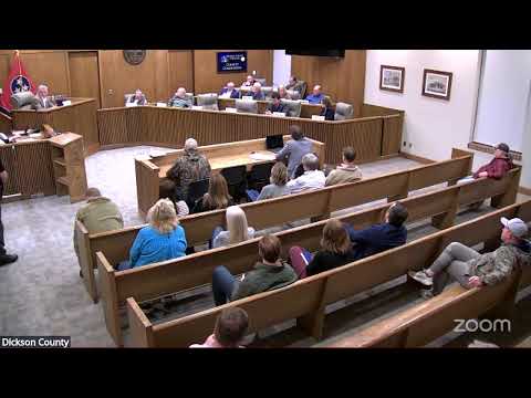
The Dickson County Commission voted Feb. 17 to transmit the countyplanned-growth-area map to the statutory coordinating committee and to designate the county mayor as the commissionrepresentative on that committee following a public hearing and a presentation by planning staff.
Planning presenter Mr. Mills told the commission the amendment updates the countygrowth plan (authorized under Public Chapter 1101) with modern GIS mapping, clarifies municipal limits and urban growth boundaries and produces a single, reconciled plan after jurisdictions hold two public hearings. "What is a growth plan? Every county has one ... it determines where and how a municipality can annex new territory," Mills said during his presentation.
The action approved by the commission has two parts: to send the countyplanned-growth-area map to the coordinating committee and to name the mayor as the commissiondelegate. The motion carried by voice vote after Mills explained the committee's role in resolving interjurisdictional differences.
At the public hearing, Deborah Rosenthal of Best Hope Farm, which is north of Montgomery Bell State Park, urged officials to align urban growth boundaries with a proposed overlay district meant to protect prairies, savannah and contiguous habitat. "Those plans clearly identify development around the park as an environmental threat and call for a protective overlay district," Rosenthal said, adding that annexation into a city's UGB could "override" protections unless jurisdictions act now.
Mills and the mayor explained that the coordinating committee, made up of representatives from the county, municipalities and utilities, will reconcile the maps and that each jurisdiction must approve the final comprehensive plan or the plan will fail. Mills said some municipalities (Van Leer and Sladen) opted not to participate, so their UGBs remain unchanged.
The commission's vote sends Dickson County's proposed piece of the regional map forward; it is one step in a multi-jurisdictional process that will include additional public hearings and votes at the coordinating-committee level and then at each jurisdictional governing body.
Whathappens next: the coordinating committee is expected to meet in March to reconcile maps and hold its public hearings; the commission will receive further materials and staff offered to answer questions at the commission's follow-up agenda items.