Get Full Government Meeting Transcripts, Videos, & Alerts Forever!
Get email alerts on the Mprep topic
No spam. Unsubscribe anytime.
Montgomery Township GIS demonstrates MPREP emergency workflow in fictional drill
Summary
Montgomery Township’s GIS team demonstrated the Montgomery Preparedness, Response and Emergency Platform (MPREP) in a brief fictional drill showing how residents’ reports are entered, triaged and dispatched to responder squads.
GIS Jen, a presenter with Montgomery Township’s GIS program, used a short episode of the GIST series to demonstrate how the Montgomery Preparedness, Response and Emergency Platform (MPREP) supports incident reporting and response.
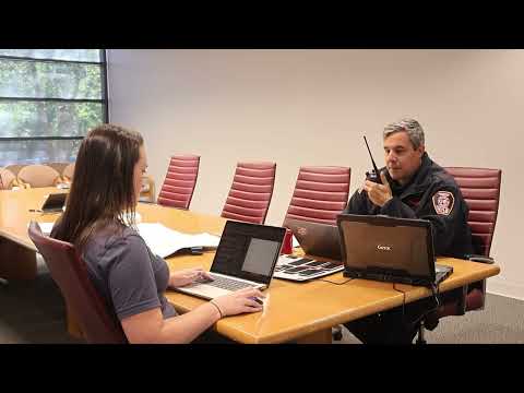
In the staged scenario, a communications specialist enters an emergency report for the Montgomery Township Recreation Center into a premade form. "There's a lizard attacking the recreational center," the demonstrator says, part of the fictional scenario used to illustrate how the system handles unusual reports. Once the form is submitted, the episode explains, it becomes available for an emergency management coordinator to "review, prioritize, and dispatch."
The demonstration shows an example operational outcome: responders assign Squad 18 to a search-and-rescue response to the recreation center after the simulated report describes a partial building collapse with multiple people trapped. An unidentified responder in the recording states, "Squad 18, you're gonna responding for a search and rescue at the Montgomery Township Rec Center. With multiple individuals trapped." The host also notes that en route crews can consult the MPREP dashboard for situational updates; the transcript uses the label "MCREP dashboard" in one line, which the township materials identify as the same MPREP dashboard for the platform.
Why it matters: the episode condenses how a resident-facing reporting form, coordinator triage and a shared responder dashboard work together to move an incident from a phone call to an assigned response. For local officials and residents, the demonstration underscores the role of GIS-linked platforms in organizing situational information for responders.
What the recording does and does not show: the segment is a short, scripted demonstration rather than real incident audio. It walks through data entry, coordinator triage and a dispatch example but does not provide operational metrics (response times, staffing levels, or funding sources) and does not record actual field activity or formal policy votes.
The episode closes with an invitation to visit the Montgomery Township GIS website for more information about GIS projects and MPREP.