La Paz County presses U.S. Fish and Wildlife for access solution to Planet Ranch Road
Loading...
Summary
Supervisors told U.S. Fish and Wildlife the county’s right-of-way through the Bill Williams National Wildlife Refuge has been blocked by fences, planted trees and enforcement actions; Refuge Supervisor Ronnie Sanchez said headquarters has asked him to find a local, legal path forward.
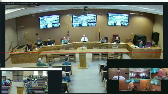
La Paz County supervisors spent more than an hour on Feb. 17 pressing the U.S. Fish and Wildlife Service to restore and formalize public access along Planet Ranch Road, a longstanding route that crosses the Bill Williams National Wildlife Refuge.
The board’s exchange followed a presentation by Ronnie Sanchez, the refuge supervisor for Arizona and New Mexico, who said he traveled to La Paz County at his leadership’s request “to help find and foster that solution forward.” Sanchez told the board he wants to repair local relationships and identify a legally durable path for access.
County officials said the dispute stretches back years. Supervisors said a 2018 regional letter from Fish and Wildlife recognized the county right of way, but more recent legal reviews at federal offices have produced a different opinion. Supervisor Minor described an incident during which county staff were “accosted” at the refuge gate while assessing the route and said refuge staff recently planted trees and posted closure signs across the county’s historic route.
“Our position has never changed. It’s our road,” Supervisor Holly Erwin said, adding that the county has documentation going back decades showing county control of the route. Erwin and other supervisors told Fish and Wildlife representatives they had previously worked with refuge staff and federal partners to develop alternatives and mitigations for off‑highway-vehicle use and public safety, and that recent actions by the refuge amount to a breakdown in local coordination.
Sanchez acknowledged the county’s frustration but said changing legal opinions and different review standards under successive federal administrations help explain the shift. “I am being asked by my leadership … to come here in good faith to find that solution,” he said, and added he is focused on local options rather than returning the dispute immediately to a courtroom.
Board members pressed several practical fixes during the meeting: issuing a formal permit to use the existing roadway, pursuing alternate routes, and arranging joint field visits so federal and county staff can inspect Cougar Point and other suggested alignments. The refuge suggested multiple paths forward remain on the table and indicated its legal office had advised a different conclusion than the 2018 letter.
County public-works staff described past cooperative steps—surveys, volunteer maintenance, seasonal closures and agreements with the sheriff’s office to address emergency response—then said those arrangements have lapsed. Don Braska, the county’s public-works representative, told the board the route condition now includes areas the refuge calls wetlands after a high-volume Army Corps “flush” and subsequent flooding; the county disputes that designation for longstanding roadway areas.
Both sides agreed to continued engagement. Sanchez said he would press refuge leadership for a locally workable solution and welcomed joint site visits; supervisors said they intend to remain active in on‑the‑ground assessments and seek a permit or other durable access agreement.
The board did not take formal action at the meeting; the immediate outcome was a commitment from U.S. Fish and Wildlife to pursue a legal and operational path forward with county staff and community representatives.