Get Full Government Meeting Transcripts, Videos, & Alerts Forever!
Get email alerts on the Public Safety Fire topic
No spam. Unsubscribe anytime.
Normal staff say relocation of Station 2 did not degrade 4–6 minute response coverage
Summary
City staff presented ESRI model results and validated dispatch data showing the recent relocation of Fire Station 2 did not reduce 4–6 minute road-coverage performance; staff said they will continue validating results with 2025 observed runs and will use the analysis to inform the planned relocation of Station 3.
Normal — Town of Normal staff told the council on Feb. 2 that the relocation of Fire Station 2 has not, so far, reduced the town’s capacity to reach calls within the 4–6 minute en route window used to measure emergency response coverage.
"Based on the network analyst model, we have not observed that. It did not impact our 4 to 6 minute response time ranges," said Vasu Ganaraju, director of innovation and technology, presenting a validation that compared two ESRI models (ArcGIS Online and Network Analyst) against 2024 incident records from the town’s CAD dispatch system and ImageTrend incident database.
Staff said they used ArcGIS Online (which incorporates real-world traffic patterns) and the Network Analyst model (which does not use live traffic) and then overlaid actual first-on-scene times from 2024 to validate the models. GIS coordinator Sarah Rogers showed maps with modeled 4- and 6-minute coverage areas and plotted incidents where observed run times were faster or slower than the model predicted.
"Models are models," Ganaraju said, explaining the limitations of model inputs and why the town used observed AVL (automatic vehicle location) and CAD records to confirm results.
Chief Humor added operational context, noting that certain call categories extend run times: "Metcom will tell us they want us to respond no code. No lights. No siren," he said, explaining how some mental-health or downgraded automatic-alarm responses are intentionally routed slower to avoid escalating a scene.
Jacob Smith, administrative analyst, told council that 2024 call volume rose about 0.43% from 2023 while fleet availability remained strong; staff calculated that periods without an ALS-capable vehicle averaged only a small fraction of overall time in 2024. Staff also said they removed zero-run-time outliers (likely data artifacts) and kept no-code incidents in the validation set to avoid undercounting slower responses.
Several council members pressed staff on methodology and context. Councilmember Smith asked why staff focused on 2024 rather than a longer range; staff said they had run analyses back to 2018 (the year ImageTrend was introduced) but presented 2024 because it is the latest complete year. Councilmember Lorenz and others requested additional incident-clustering analysis (for example, calls tied to the Rivian site) to assess whether call propensity — not just road coverage — should affect station siting.
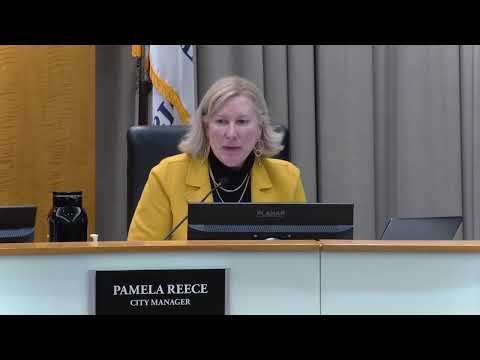
Staff said further validation is planned: the town will incorporate 2025 dispatch data (including actual runs after Station 2’s relocation) and continue to test models before relocating Station 3. City manager Miss Reese said staff will also research technology options such as traffic-signal preemption that could reduce en-route times.
The presentation was informational; no policy or budget decision was made during the meeting. Council discussion and staff answers indicate the relocation of Station 3 will be considered in future meetings after additional data runs and analysis.