District outlines Lahar drill plan, alternate evacuation routes and new emergency tech
Loading...
Summary
District staff reviewed plans for the regional Lahar drill, described alternate levee routes for student evacuation, and said the district will use reunification kits, Starlink internet for connectivity and RFID tags on teacher backpacks (not students) to track staff locations during the drill.
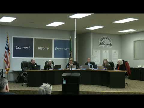
District staff briefed the board on preparations for the upcoming regional Lahar drill and on steps to improve reunification and emergency communications.
The presentation described coordination with EPIC (Eastern Pierce County interlocal coalition of emergency management), a March 25 event with USGS presence planned for community education, and operational details for the drill route. Because some levee and trail routes can flood, staff identified alternate walking paths to avoid vehicle traffic and congested bottlenecks on the bridge that could cause safety hazards during evacuation.
The district also reported operational arrangements including a metal container with reunification supplies at a quarry site, cooperation with neighboring Bethel School District to assume reunification responsibility if needed, and the placement of additional reunification kits at school sites.
On technology, staff said the district will switch emergency internet to a Starlink connection at the drill site to preserve connectivity and will pilot RFID tags on teacher backpacks to collect live location data (staff only) so the Emergency Operations Center can track which staff and classes reach reunification points; staff emphasized students will not be RFID tagged.
Board members supported the plan and asked about alternate routes and staffing; staff said plans will be finalized closer to the drill date and adjustments could be made depending on site conditions such as flooding.