Get Full Government Meeting Transcripts, Videos, & Alerts Forever!
Get email alerts on the Land Use topic
No spam. Unsubscribe anytime.
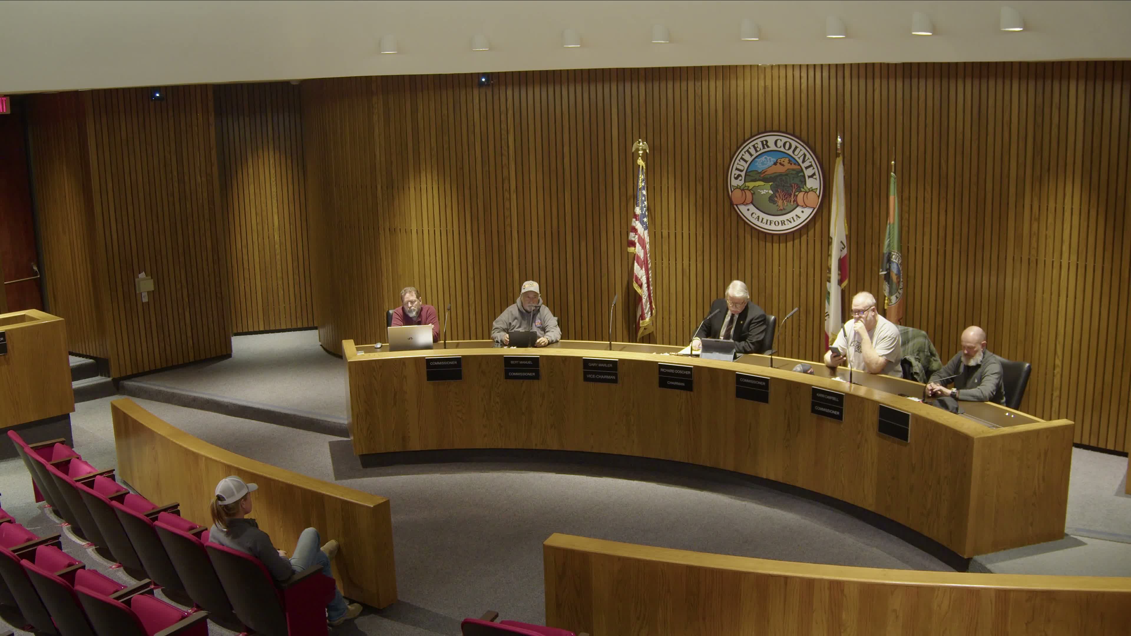
Sutter County planning commission unanimously approves tentative parcel map for Smith property on Marshall Street
Summary
The Sutter County Planning Commission unanimously approved a tentative parcel map to split a 5.18±-acre property at 8388 Marshall Street into a roughly 1.0-acre parcel and a 4.18±-acre parcel, with staff recommending a mitigated negative declaration and six mitigation measures.
The Sutter County Planning Commission voted unanimously to approve a tentative parcel map for the Smith property at 8388 Marshall Street in Sutter, dividing a 5.18±-acre parcel into an approximately 1.0-acre lot and a 4.18±-acre lot.
Urbina Soria, Associate Planner for Sutter County, summarized the project and staff findings, saying the existing parcel contains a single-family residence and a barn and that the proposed Parcel 1 would be undeveloped and anticipated for a future single-family residence while Parcel 2 would remain as-is. "So staff is recommending that the planning commission approves the project with the conditions of approval attached," Soria told commissioners.
Soria said both resulting parcels are designated R1A (single-family residential/agricultural-combining district), that lots in the R1A district have a minimum lot size of 6,000 square feet, and that both parcels would connect to the Sutter Community Services District for water. The county staff presented an initial environmental study in the CEQA process that found no major traffic impacts and proposed a mitigated negative declaration that includes six mitigation measures addressing traffic, hydrology, geology and soils; the applicant also provided preliminary drainage calculations and will be required to construct private on-site drainage improvements and a drainage swale along the eastern edge of the proposed Parcel 1 to retain stormwater on-site.
No members of the public spoke in favor of or opposition to the project during the public hearing. Following the presentation and the close of the hearing, Commissioner Manuel moved to approve Project U25-0012 (Smith tentative parcel map); Commissioner Campbell seconded. A roll call vote recorded ayes from Commissioners Schmittel, Manuel, Dasher, Dila and Campbell, and the motion passed unanimously.
The county record lists the applicant as Cody S. Smith and the property owners as Sydney and Irene Smith (Assessor's Parcel Number 14-311-031). The staff report states that Parcel 1 is expected to require on-site drainage storage, a separate water connection if developed, and compliance with the six mitigation measures attached to the mitigated negative declaration. The commission did not identify any unresolved objections at the meeting; the project approval is subject to the stated conditions and any required ministerial permits and permit clearances.