Get Full Government Meeting Transcripts, Videos, & Alerts Forever!
Get email alerts on the Water Supply Los Osos topic
No spam. Unsubscribe anytime.
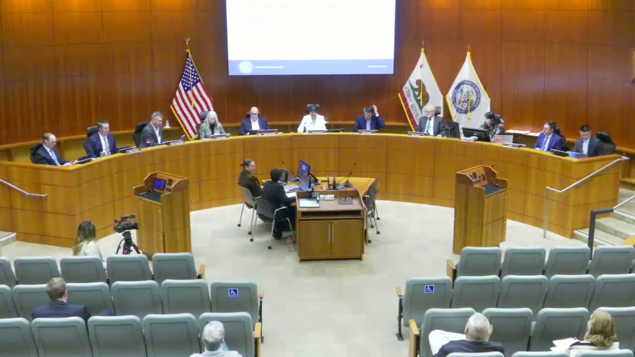
Board sets Los Ososgrowth limit at 0.4% for 2026 after heated basin debate
Summary
After a day of testimony from local water purveyors, scientists and residents, the San Luis Obispo County Board of Supervisors established a 0.4% growth rate (25 new dwelling allocations) for Los Osos in 2026 and removed countywide caps elsewhere, citing groundwater modeling and a cautious implementation approach. The vote was 4-1.
The San Luis Obispo County Board of Supervisors voted 4-1 to set the community of Los Ososannual growth rate at 0.4% for calendar year 2026, a limit equivalent to 25 new dwelling allocations. The board also moved to remove the countywide growth cap in the ordinance while preserving specific-plan caps for Monarch Dunes and Dana Reserve.
The decision followed a lengthy hearing in which the Basin Management Committee (BMC) recommended a 0% growth rate for 2026 based on a newly calibrated transient groundwater model that shows continuing seawater intrusion under current pumping patterns. Purveyors and local experts urged the board to adopt the BMC recommendation. Golden State Water Company, Los Osos Community Services District and other purveyors submitted a joint letter arguing that uncertainty in the model should not be treated as a green light for growth and warned that required mitigation and infrastructure costs would fall largely on local customers.
The countyGroundwater Sustainability Director, Blaine Grealy, recommended a 0.4% rate, explaining that the most recent transient model sets a basin sustainable yield near 2,000 acre-feet per year while recent pumping averaged roughly 1,650to 1,830 acre-feet per year depending on the multi-year average used. Grealy told the board that a 0.4% increase would add roughly 3.5 acre-feet per year if fully taken, and that the Local Coastal Program requires each new unit to be offset at a 2:1 ratio under current rules.
Purveyors and groundwater scientists described several sources of concern. Chuck Sissinia of the Los Osos Community Services District summarized the BMCposition: "We respectfully request that the county faithfully consider the recommendations with the BMC as it is obligated to do under the growth management ordinance and adopt the conservative approach recommended by the BMC." Other local hydrology experts urged caution, noting the new transient modelwhile more sophisticatedalso indicates the basin is sensitive to pumping location and that redistribution and optimization needed to protect the basin may be costly and not guaranteed.
County staff told supervisors that the proposed ordinance change would narrow the annual allocation review to Los Osos only and remove the countywide and Nipomo Mesa caps to better align the code with the county's housing objectives. Planning staff noted that allocations are assigned at building permit issuance (not at earlier land-use approvals), so most pipeline projects do not immediately consume annual allocations.
Supervisor Gibson, who moved the staff recommendation, described the 0.4% figure as conservative and protective when combined with the required offsets and implementation of the transient-model monitoring. Supervisor Paulding opposed removing the Nipomo-related components of the ordinance at this time. The final roll call was: Gibson Yes; Ortiz Lake Yes; Pershong Yes; Paulding No; Moreno Yes.
Next steps: the growth management ordinance amendments adopted by the board will be incorporated into county code. Planning staff said they will continue to coordinate with the Basin Management Committee and local purveyors on monitoring, optimization measures, required mitigation credits and updates to the five-year rolling groundwater average that will influence the rate calculation from 2028 onward.