Get Full Government Meeting Transcripts, Videos, & Alerts Forever!
Get email alerts on the Rezoning topic
No spam. Unsubscribe anytime.
Planning board backs rezoning for 0.19-acre Habitat parcel on Williams Street
Summary
The Mooresville Planning Board voted to recommend adoption of RZ 2026-02, a request from Habitat for Humanity to rezone a 0.19-acre sliver on Williams Street from TN to RG to align zoning with an adjacent parcel; no public comment was received and staff noted watershed impervious limits.
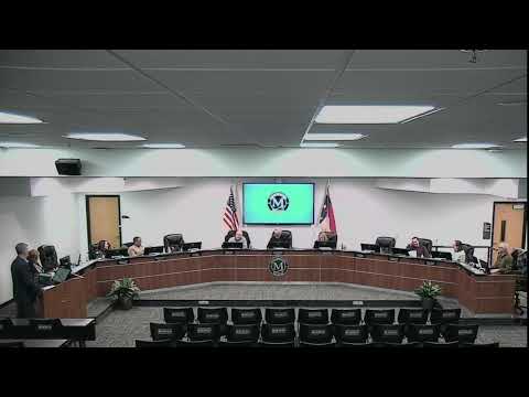
The Mooresville Planning Board voted to recommend that the town board approve RZ 2026-02, a rezoning request from Habitat for Humanity to change a 0.19-acre parcel at the corner of Williams Street and Selma Drive from Traditional Neighborhood (TN) to Residential General (RG).
Staff presenter Ashley Latin told the board the small parcel is intended to be recombined with an adjacent RG-r zoned parcel and described the request as consistent with the town’s future land-use map and tiered growth priorities. She noted the site lies in the WS-2 balance of the Back Creek watershed, which limits impervious coverage to 30 percent and requires appropriate stormwater controls.
Attorney John Floyd, representing Habitat for Humanity, described the parcel as “maybe the smallest rezoning I’ve done in my career,” and said the change would create contiguous RG zoning and is compatible with surrounding uses. “We think this is consistent with Mooresville’s comp plan,” Floyd said.
No members of the public signed up to speak. Mr. Fred Arab moved to recommend approval, Mr. Mack seconded, and the board voiced its support; the chair stated the motion carried and the planning board will forward a recommendation to the town board.
Next steps: The town board will consider the ordinance adopting the rezoning. The planning board record shows staff findings that the map-amendment standards were met and the parcel is compatible with adjacent land uses.