Get Full Government Meeting Transcripts, Videos, & Alerts Forever!
Get email alerts on the Land Use 19 Livingston topic
No spam. Unsubscribe anytime.
Planning board urges more geotechnical work, schedules joint session on 9‑unit Livingston Avenue plan
Summary
Developers showed a revised nine‑unit townhouse layout pushed north to maximize a public river viewshed. The village planner and civil engineer warned that deep historic fill and a county trunk sewer at the toe of the slope create constructability risks; the board asked for more borings and a joint meeting with the Board of Trustees before detailed engineering proceeds.
The Dobbs Ferry Planning Board reviewed updated plans for a proposed nine‑unit cluster development at 19 Livingston Avenue and asked the applicant for additional geotechnical information and a joint review with the Board of Trustees before approving a final footprint.
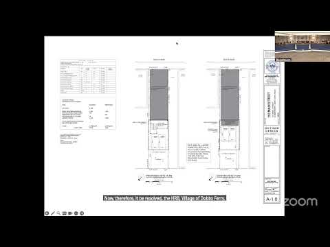
Christina Griffin, principal of CJA Studio, presented the applicant's revised scheme, saying the team had pushed several townhouse units north, narrowed some lots and adjusted garage locations to increase a public viewshed toward the river and Palisades. Griffin said the design aims to remain "as of right" under the cluster development code while providing an affordable unit and a public viewing platform at the sidewalk.
Civil engineer Paul Petretti told the board the site rests on deep historic fill in places and that a county trunk sewer runs along the toe of the slope below the property. "To me, this is all about constructability," Petretti said, warning that excavation and retaining walls to support north‑side buildings would be deep and complex and that county review would be required for any grading near the trunk line.
Board members pressed whether the proposed one‑story garages and the placement of Units 1 and 9 actually improve the public view from Livingston Avenue and whether alternative building types would better protect the viewshed. The applicant said townhouse scale fits the neighborhood and that moving to a multifamily building would change the design's relationship to adjacent Victorians.
Trustee Michael Patino recommended more subsurface work before the board signs off: "We were most interested in having a little more thorough analysis, through soil borings and a report," he said, urging that any report be reviewed by the village engineer.
Beyond subsurface concerns, the board discussed several public‑benefit tradeoffs: enlarging the proposed viewing platform, coordinating with adjacent property owners to lower or alter a retaining wall that now blocks sightlines, and considering a trail or cross‑access easement in the future. Several members encouraged the applicant to show profiles that compare proposed foundations and fills to the county sewer profile so the board could better visualize proximity and risk.
The board did not make a final recommendation on the layout. Members asked the applicant to provide additional borings and geotechnical profiles, a clearer view‑shed analysis and plans that show the no‑build or "black box" constraints relative to the trunk sewer. The commission agreed to schedule a joint workshop or invite a planning board representative to a Board of Trustees workshop so trustees can confirm whether the design meets the village's direction before the applicant proceeds with detailed engineering and permitting.
Next steps: the applicant will refine the plan with additional technical documentation and await scheduling of a joint session with the Board of Trustees.