Get Full Government Meeting Transcripts, Videos, & Alerts Forever!
Get email alerts on the Urban Development Rtz topic
No spam. Unsubscribe anytime.
Coral Gables planning board backs expansion of University Station transit overlay with tighter city limits than county option
Summary
The Planning & Zoning Board recommended approval of comprehensive plan and zoning amendments to expand the University Station Rapid Transit overlay, approving denser multifamily zoning with city caps on height, FAR, and buffers that staff say will yield fewer units than the county RTZ option and retain fees for the city.
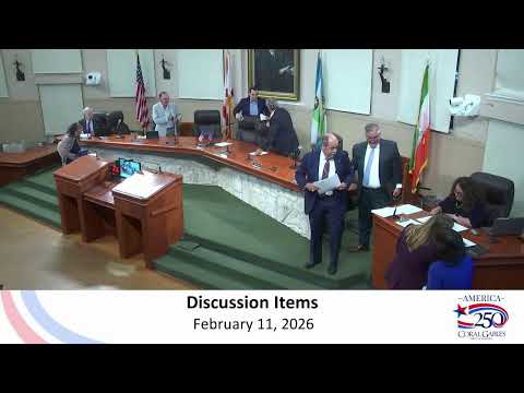
The City of Coral Gables Planning & Zoning Board on Feb. 11 recommended approval of twin proposals to expand the University Station Rapid Transit overlay and adopt new multifamily zoning standards for properties near the University Station.
Staff said the package would allow multifamily densities up to 125 units per acre while limiting building heights to a 120‑foot base (with up to 150 feet available only with an extra 10% of open space), capping floor‑area ratio at 3.5 (with up to 4.375 via transfer of development rights) and requiring waterfront setbacks including a 10‑foot waterway setback and upper‑story stepbacks opposite single‑family homes. Jennifer, a city planner for the project, told the board the city’s approach was intended to offer developers an attractive option to remain under Coral Gables rules rather than pursuing the county’s Rapid Transit Zone (RTZ), which staff said typically allows taller buildings and fewer local standards.
Why it matters: staff estimated the county RTZ applied uniformly to the 4.8‑acre site could allow roughly 600 units, while the city’s tiered overlay would yield about 537 units under the proposed map and density transitions. Board members pressed staff on buffers, the quarter‑mile radius used to define the overlay boundary, traffic impacts on narrow streets such as Caballero and Madruga, and whether site plan review would produce meaningful neighborhood protections.
Board debate centered on tradeoffs between the county’s RTZ rules and the city’s negotiated overlay. Several members expressed concern that incremental expansions of rapid‑transit overlays could cumulatively change neighborhood character; others argued the city’s proposal preserves more local control and public notice. Commissioner (board member) comments requested stronger graphic, block‑level contextual diagrams and clearer protections for abutting single‑family properties.
Staff said the city’s package includes: density matched to the county at 125 units per acre but with tiered zoning down from US‑1 toward the waterway, 10‑foot waterway setbacks and 50‑foot stepbacks adjacent to single‑family, a 3.5 FAR cap (4.375 with TDRs), and explicit site‑plan public hearings with mailed notice to neighbors. On the question of infrastructure and traffic mitigation, staff said the comprehensive plan typically addresses height and intensity while site plan review would consider right‑of‑way and other mitigations; legal and city management staff participated in negotiations with the county.
What the board decided: after extended questioning and discussion, the board approved separate motions (required by law) recommending the comprehensive plan text/map amendment (E3) and the zoning/text/map amendment (E4) to the City Commission for first reading. The approvals were made consistent with staff recommendations and recorded by roll call.
Next steps: E3 and E4 will proceed to the City Commission for first and second readings, with site plan review and public hearings to follow should an application advance. The board emphasized staff should return with clearer contextual exhibits and neighborhood‑scale drawings to guide future decisions.