Consultants present US‑80 (SR‑26) Phase 2 scoping study to Effingham commissioners; safety and freight top concerns
Get AI-powered insights, summaries, and transcripts
Subscribe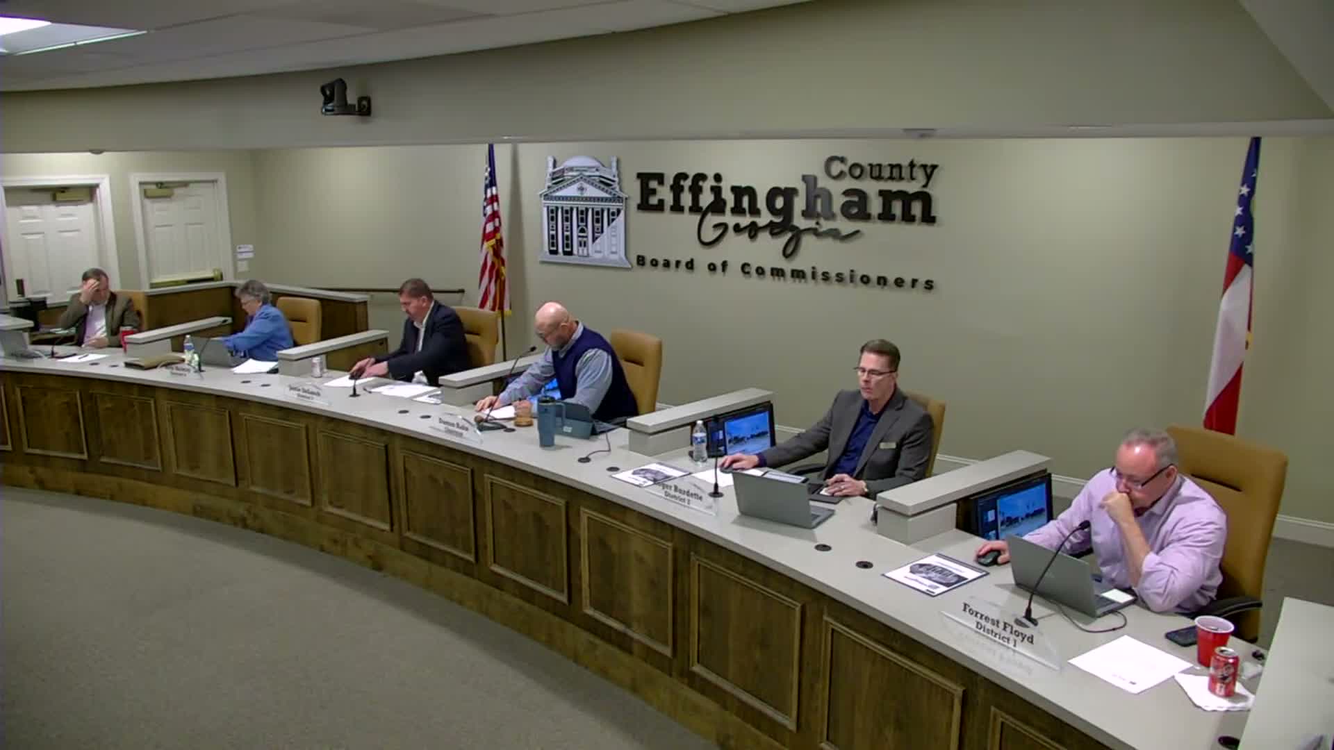
Summary
Kimley‑Horn presented the Phase 2 scoping study for State Route 26/US‑80 in Effingham County, highlighting heavy truck percentages (13–24%), 473 crashes in 2020–2024 with four fatalities, and preliminary alternatives including roundabouts, turn lanes and multimodal connections. The study will forecast traffic to 2035 and 2050 and hold public outreach later this year.
Kimley‑Horn engineers gave the Board of Commissioners an overview of the Phase 2 scoping study for State Route 26 (US‑80) in Effingham County on Feb. 17, outlining existing conditions, safety data, and next steps for forecasting and alternatives.
Jonathan Holm, the county engineer, introduced the consultancy team and said the effort builds on a 2023 Phase 1 study in Pooler (Chatham County). Paul Rhodes and Harrison Dean of Kimley‑Horn described the study corridor as a roughly 6.5‑mile stretch from the western county line near I‑16 to the Chatham County line, with 18 intersections identified for detailed study and four conceptual corridor segments to account for differing roadway and land‑use contexts.
Harrison Dean said the corridor carries significant freight traffic. ‘‘Daily truck percentages range from about 22 to 24 percent in segments 1–3 and about 13 percent in segment 4,’’ he said, underscoring freight’s influence on operations and safety. Dean highlighted key bottlenecks at Sand Hill Road, Old River Road and the signalized SR‑17 intersection; field observations and queueing photographs show recurring peak‑hour backups.
On safety, the team reported 473 crashes over a five‑year period (2020–2024): 64 percent property‑damage only, 35 percent involved injury, and four were fatal. Using GDOT’s framework to monetize crash costs, the firm estimated an annualized crash cost of roughly $33,400,000 for the corridor, which the consultants and commissioners said supports targeted safety investments.
Potential improvements the study will vet include corridor‑scale widening to a four‑lane divided facility (a recommendation from a prior coastal study), roundabouts (Sand Hill Road currently has a PI project for a roundabout and a temporary signal), signalization and turn‑lane changes at Old River Road and SR‑17, raised medians and driveway consolidation to reduce conflicts, improved roadway lighting where crash trends show inadequate illumination, and non‑motorized facilities to connect the Georgia High‑Low Trail and existing recreational destinations.
Dean said future land‑use maps increase industrial acreage in the study area (a projected rise from about 1 percent industrial today to roughly 15 percent under future designations), and the team will incorporate known and forecasted regional development—including industrial growth in neighboring Bryan County and large projects such as Hyundai—into traffic forecasts.
Next steps include stakeholder meetings now, traffic forecasting to 2035 and 2050, development of short‑, medium‑ and long‑term alternatives, concept layouts, and a public information open house likely near year‑end. The final consolidated report is expected in about a year. Commissioners asked staff to circulate the project survey link to county communications so residents can provide input.