Get Full Government Meeting Transcripts, Videos, & Alerts Forever!
Get email alerts on the Comp Plan Coastal Mapping topic
No spam. Unsubscribe anytime.
Bonita Springs workshop reviews comprehensive‑plan history and coastal mapping choices
Summary
Consultants reviewed the city’s comprehensive‑plan milestones, the difference between the city’s coastal management area and the state coastal high‑hazard area, and how those maps shape infrastructure and downtown redevelopment choices.
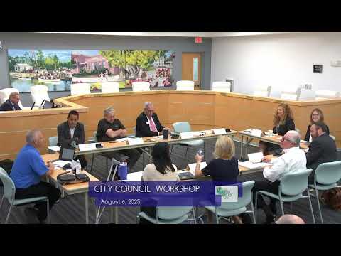
City consultants and planning staff walked council members through the history and practical consequences of Bonita Springs’ comprehensive plan and coastal mapping at a workshop.
Dr. Margaret Banyan, a research professor who has worked with the city on planning studies, summarized the city’s prior cycles: early plans after reincorporation, downtown planning and overlay work, a 2009 LDC adoption and the 2019 focus on transportation and Bonita Beach Road corridors. "So our goal here today... the presentation is just kind of more or less talking points," Banyan told the council as she outlined the EAR cycle and how the city uses evaluation materials such as the vacant‑lands map to assess whether the comp plan is meeting community goals.
Councilors pressed for clarification about coastal mapping. Staff explained that the city’s coastal management area is a locally adopted geographic tool used to carry forward public feedback and local goals (including broader protections than the state map), while the state’s coastal high‑hazard area is a smaller, surge/flood‑driven map defined by state statute and modeling. A staff member said the local management area lets the city set goals, objectives and policies to protect areas the public identified, while the state map controls statutory obligations tied to storm surge and flood modeling.
Presenters noted the practical consequences: state high‑hazard designations limit public infrastructure investment and generally call for lower density, while the city’s coastal management overlay can maintain protections and still encourage targeted downtown redevelopment where the community wants growth. Council members also discussed how repetitive‑loss studies and CRA purchases of properties in riverine floodways informed buyouts and hazard‑mitigation strategies.
Staff said much of the current EAR work was cleanup and alignment with state requirements and that the next comp‑plan update will require 10‑ and 20‑year demographic analyses to comply with statute. The presentation closed with an invitation for council input on priorities—transportation, affordable housing, downtown redevelopment and resilience measures—and a promise to return specific materials and a timeline for future amendments and outreach.