Get Full Government Meeting Transcripts, Videos, & Alerts Forever!
Get email alerts on the Public Safety topic
No spam. Unsubscribe anytime.
Glenwood Springs public safety officials outline updated evacuation plan and urge residents to sign up for alerts
Summary
Fire and public safety chiefs presented the city’s updated evacuation plan, mutual‑aid arrangements and water and evacuation-zone mapping; officials urged residents to sign up at GARCO911 and noted next steps including tabletop exercises and coordination with CDOT for highway closures during mass evacuations.
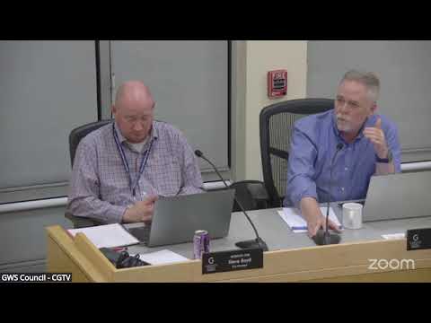
Glenwood Springs — Fire and public safety officials briefed City Council and the public on Feb. 6 on the city’s updated evacuation plan, available on the fire department website, and on steps residents should take to receive emergency alerts.
Chief Joseph Darris, speaking for the fire department, said the city has extensive water resources and more than 700 hydrants supported by large distribution tanks, that mutual‑aid agreements are in place with county and state partners, and that the department is preparing tabletop exercises this spring to test egress plans and communication protocols.
“There’s a lot of misinformation around enforcement on the property east of Walmart,” Darris said, referring to a parcel outside city limits with recurrent homeless encampments. He emphasized that some enforcement limitations are jurisdictional but that the fire department will respond to incidents in the county portion of its service area.
Darris described polygons used in the plan to target mass notifications and recommended that residents sign up for GARCO911 (garco911.com) to ensure they receive texts or calls during an evacuation. He also noted the city can issue geo‑targeted alerts for major incidents that do not require prior signup.
Public commenters raised private‑property abatement and homeless‑encampment fire‑risk concerns; one apartment owner asked for a formal work session with the county to discuss prevention measures on county land adjacent to Glenwood properties.
Councilors and staff discussed water capacity, the city’s ISO insurance review, and the logistics of closing state highway lanes in coordination with Colorado State Patrol and CDOT if an evacuation requires using the highway for egress.
Chief Darris said the fire department will provide additional public outreach and make evacuation maps and the full evacuation document available online and through staff. He urged residents to register on GARCO911 and to consider neighborhood preparedness steps such as rooftop sprinklers and home-level mitigation.