Lewisville unveils Drone First Responder program, cites officer-safety and 95% coverage goal
Get AI-powered insights, summaries, and transcripts
Subscribe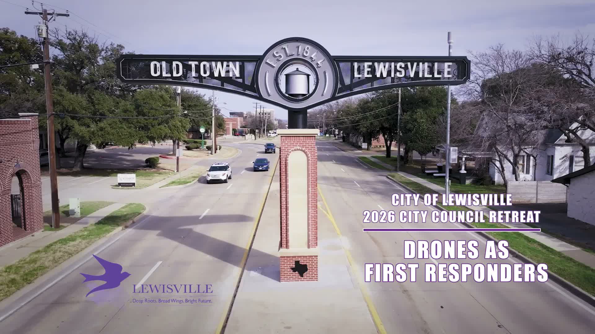
Summary
The Lewisville Police Department demonstrated its Drone First Responder (DFR) program to the mayor and council, outlining Skydio X10 hardware, planned rooftop docks at public‑safety sites, FAA authorizations for BVLOS operations, CAD integration and data‑driven deployment metrics.
The Lewisville Police Department on Monday presented its Drone First Responder program to the mayor and council, describing new rooftop docks, hardware specs and plans to integrate drones with dispatch to speed situational awareness for officers.
Chief Brook Rollins told the council the department began its drone work in 2020 "starting with just 2 drones and 5 pilots," and has since added 16 additional drones and grown to 18 total pilots. He said the department has seen a roughly 250% increase in flights since 2021, that 40% of flights occurred since 2025, and that the program is on pace for more than 1,000 missions this year.
Rollins said Drone First Responder, or DFR, enables near‑immediate deployment of drones that stream live video and telemetry to officers responding to calls. "This provides excellent critical situational awareness, better officer safety, and even more efficiency for our team," Rollins said. He described three primary mission goals for the program: officer safety, improved citizen experience and crime reduction.
Hardware and operations
The presentation showed the Skydio X10 platform, which Rollins described as offering about 40 minutes of flight time, top speeds near 45 miles per hour and thermal and zoom sensors. The department demonstrated docked "X10" stations designed to launch autonomously in about 20 seconds; docks will be hardwired into the city network for low‑latency video. Attachments discussed included a parachute for safer landings, a spotlight and a speaker to communicate with people in crisis. Rollins also noted companies are testing flotation devices for potential water‑rescue uses.
Regulation, airspace and infrastructure
Rollins explained the department will operate both visual line‑of‑sight and beyond‑visual‑line‑of‑sight (BVLOS) missions under FAA authorizations and described the use of ADS‑B transponders and a planned drone antenna system that will be installed on the Lewisville Grand Theater to improve airspace awareness. He said the department holds waivers authorizing flights up to 200 feet using onboard detection and up to 400 feet when the antenna/ADS‑B network is used.
Planned dock locations and coverage
Under the current budget, Rollins said the city will install three docks: the Tittle McFadden Public Safety Center (top of the parking garage) and Fire Stations 7 and 5. He said that setup is expected to cover roughly 95% of the city's geography for typical missions and that achieving full 100% continuous coverage would require additional infrastructure and budget requests.
Systems integration and data tracking
Rollins described integrating DFR with the department’s computer‑aided dispatch (CAD) so dispatch can automatically assign a DFR pilot and launch a drone to a call. He also described an intelligence pane (referred to in the presentation with differing spellings as "FUSUS/FUSIS") intended to aggregate telemetry, AVL and other data into a single interface so the department can measure response‑time savings and make data‑driven decisions on whether and where to scale coverage.
Rollins said mandatory post‑flight recording plus automated telemetry will let the city track metrics such as response times saved, instances where an officer response was avoided and utilization patterns. "We want the data to drive that operation," he said.
Transparency and municipal uses
Council members asked whether waivers permit non‑emergency municipal tasks such as streetlight or radio‑tower inspections. Rollins said those uses are possible and cited a plan to use drones for regular radio‑tower inspections to avoid contractor costs. A council member urged greater public transparency; Rollins pointed to an existing state of Texas annual reporting requirement and said the city could publish day‑to‑day usage data on a transparency page.
Demonstration and scenario
The council viewed a prerecorded demonstration and a simulated response in which a DFR pilot used thermal imaging to locate a suspect vehicle, provided real‑time updates that allowed officers to de‑escalate, and the scenario ended with the subject taken into custody without injury. Rollins said the live‑demo capabilities include selecting the nearest docked aircraft, remotely launching, switching between thermal and zoom views and sharing a live video feed with multiple viewers.
Council reaction and next steps
Several council members praised the program as a "game changer" and credited earlier drone uses with saving lives. The chair emphasized that life‑safety missions should remain the priority while other city departments explore efficiency uses. Rollins said docks will be installed in the coming week and staff will continue collecting post‑flight data; there was no council vote recorded on additional funding during the presentation.
The department identified DFR sergeant Tim O'Hara and a Skydio representative (Izzy) as present at the demonstration; the presentation credited O'Hara for creating the slides. The city plans to proceed with the dock installations and continue data collection and transparency work before requesting further budget expansions.