Get Full Government Meeting Transcripts, Videos, & Alerts Forever!
Get email alerts on the Bertram Grove Prelim Plan topic
No spam. Unsubscribe anytime.
Commission approves waivers for Bertram Grove subdivision amid floodplain constraints
Summary
The commission approved two waivers for the Bertram Grove preliminary plan—an increased block length and a street‑projection waiver—citing creek and floodplain constraints; staff recommended approval after reviewing a drainage study and multiple access points provided by the applicant.
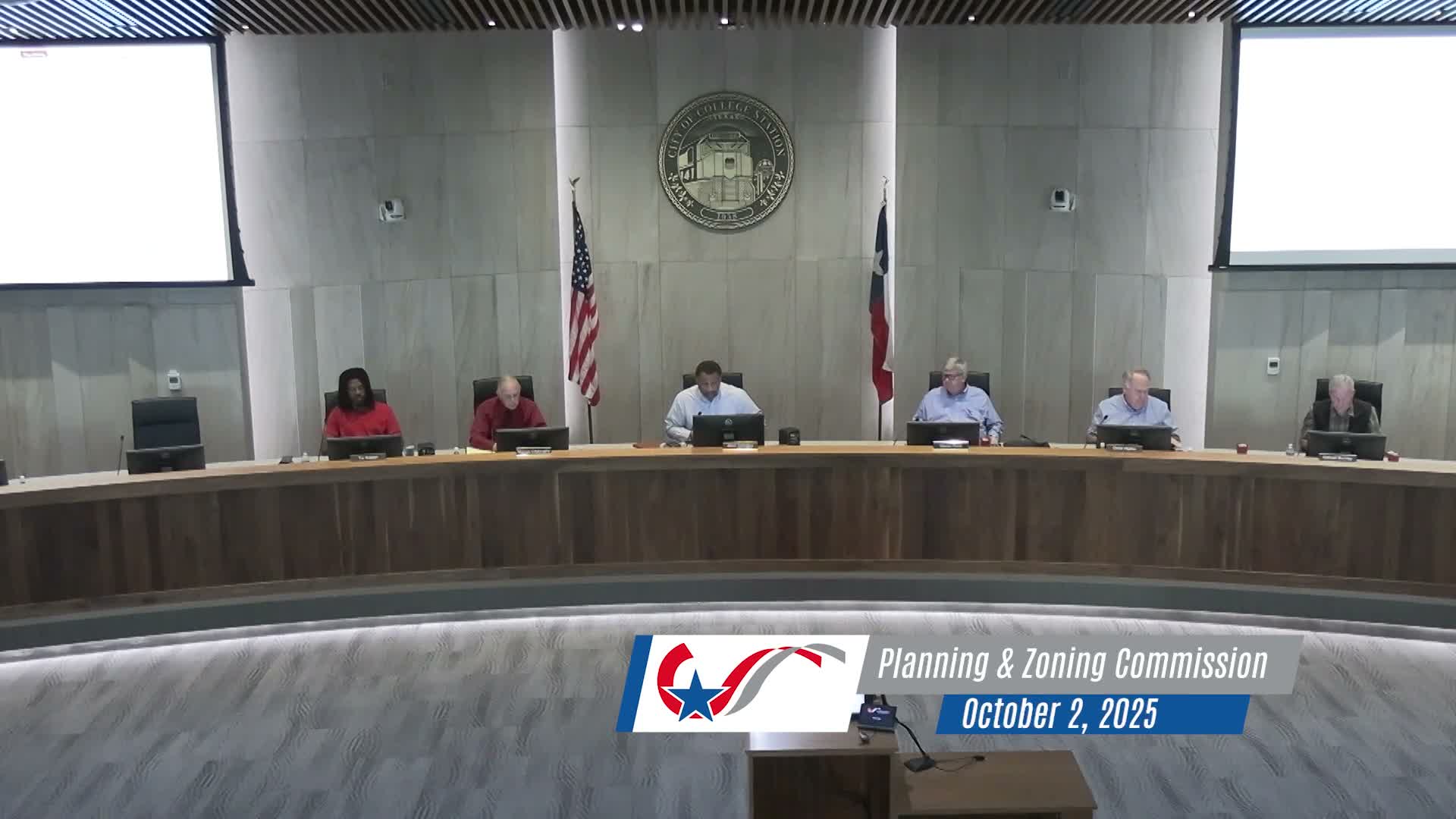
The College Station Planning and Zoning Commission on Oct. 2 approved two waiver requests for the Bertram Grove preliminary plan, allowing an increased block length and a modification to street‑projection requirements because of on‑site creek and floodplain conditions.
Gabriel Schrum, Planning and Development Services, said the application concerns an unplatted property near the city limits southeast of Reuter Road and Green Prairie Road and described the proposed layout as roughly 30 single‑family lots and five common areas. Schrum explained that the block‑length waiver would allow a block length of roughly 1,650 feet on Smalls Creek Road where the UDO rural‑context limit is 1,500 feet, and that the street‑projection waiver is requested to avoid forcing a public street through the creek and associated floodplain. He said the applicant submitted a drainage study and multiple access points and that staff recommended approval.
Commissioners reviewed maps and asked staff to highlight the creek and the lots affected in the rear of the tract. Schrum noted the waivers were sought to protect adjacent property owners from future drainage burdens. Because this item was not scheduled for a public hearing, the commission moved directly to a vote; a commissioner moved approval, the motion was seconded, and the waivers were approved by voice vote with no recorded opposition.
The record contains two slightly different acreage figures: the agenda described the tract as approximately 50 acres, while staff referred to an approximately 42‑acre development during the presentation; that discrepancy was in the verbal record and should be confirmed from the application materials. The commission’s approval allows the developer to proceed with subsequent platting and permitting steps subject to standard engineering and review requirements.