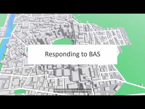
How to submit BAS responses: Partnership Toolbox, GUPS Web, paper maps and SWIM explained
Loading...
Summary
The Census Bureau webinar outlines three BAS submission methods—BAS Partnership Toolbox for ArcGIS Pro, GUPS Web, and paper maps—and demonstrates SWIM as the secure upload portal; the demo shows selecting program 'Boundary and Annexation Survey,' choosing the reporting entity type, attaching the basTBx.zip file and receiving an email confirmation.
A Census Bureau presenter (Speaker S3) demonstrated the three accepted submission methods for the Boundary and Annexation Survey and explained how SWIM (Secure Web Incoming Module) is used to upload digital submissions. "SWIM is the official web portal for uploading materials and is the only secure method for submitting digital files," the presenter said, adding that email or standard file‑transfer protocol sites are not accepted.
Options to submit: the presenter summarized that jurisdictions may use (1) the BAS Partnership Toolbox (ArcGIS Pro) to create and package changes, (2) GUPS Web—a web‑based GIS that can create automated or manual changes and supports collaborative projects—or (3) annotated paper maps returned by mail with a prepaid envelope.
SWIM upload steps: during the live walkthrough the presenter logged into SWIM, started a new upload, selected the program "Boundary and Annexation Survey," selected the reporting entity type (county/place/etc.), chose the state and place (example: Georgia → Hampton), and attached the single zip file created by the partnership tools (named in the demo as a basTBx zip containing all change files, parcels and contact text). The presenter noted the upload process allows an optional comment visible to Census reviewers and that Census will send an email when the submission is received.
Required submission contents and optional attachments: the presenter said the partnership export packs all required change files into one zip and that jurisdictions may include optional parcel files, street centerlines, PDF ordinance documents or other supporting scanned maps if helpful for acceptance. For legal changes the presenter emphasized entering change type, effective date, authorization type and document number; some states (the demo used Georgia as an example) also require an area field.
The presenter closed by advising respondents to retain archived copies of incomplete submissions and to contact geo.bas@census.gov if they encounter access or deadline issues.