Michigan Geological Survey warns funding cut would undercut mapping, federal matching and new repository work
Get AI-powered insights, summaries, and transcripts
Subscribe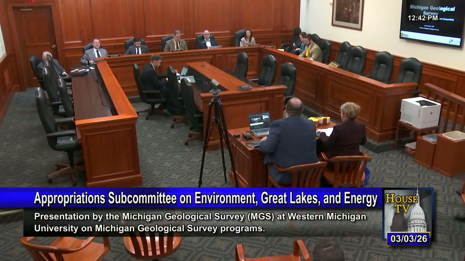
Summary
Western Michigan University and the Michigan Geological Survey told the appropriations subcommittee the governor’s proposed budget reduces ongoing MGS funding from $3,000,000 to $400,000 — a change they said would jeopardize multiyear mapping projects, federal cost‑share matches and the scientific staff needed to leverage large federal grants.
Sarah Pearson, director of the Michigan Geological Survey (MGS) at Western Michigan University, and Fred Scribe, Western’s assistant vice president for government relations, told the House appropriations subcommittee that sustained ongoing funding is necessary to maintain state scientific capacity, meet multi‑year matching commitments and protect a new core repository.
Pearson said MGS has created modern, high‑resolution geologic maps for 14 counties since 2023 and that the program has leveraged $1.76 million in state cost share into $12.4 million in partner funding, producing what she described as an approximately 8:1 return on the state’s investment. She said the survey now curates over 600,000 linear feet of core and samples in a publicly accessible, non‑proprietary collection and that the state has invested roughly $6 million to build a new repository and laboratory space (citing $3 million from EGLE and $3 million from the Department of Education in earlier appropriations).
Funding cut and consequences: Both speakers urged restoring the survey’s ongoing funding to $3 million; Pearson said the governor’s recommendation of $400,000 ongoing plus reduced one‑time funds would not sustain staffing or allow MGS to meet multi‑year cost‑share agreements through 2030. “If we cannot uphold our commitments, Michigan definitely loses credibility,” she told the committee, and warned the survey would have to decline new proposals and could lose staff to other states.
Program uses and economic value: MGS described practical uses for modern mapping, including groundwater protection, infrastructure siting, mine‑waste characterization and identifying critical minerals. The survey said its mapping supports decisions that reduce long‑term public costs and helps agencies, industry and local governments plan with higher data confidence.
Next steps: Western and MGS representatives asked lawmakers to restore the $3 million ongoing appropriation to preserve scientific capacity, protect matching agreements with federal partners and enable pursuit of large federal grant opportunities for geothermal and critical‑minerals work.