Get Full Government Meeting Transcripts, Videos, & Alerts Forever!
Get email alerts on the Land Use topic
No spam. Unsubscribe anytime.
Planning Commission approves parcel split in Canyon Hills Estates for financing; neighbors urged new EIR
Summary
The Lake Elsinore Planning Commission voted 3–0 to approve Tentative Parcel Map (TPM) 39310, splitting an 81.38-acre Canyon Hills Estates parcel into two lots for financing and annexation to the Elsinore Valley Municipal Water District. Neighbors urged the commission to require a new environmental impact report and updated traffic studies.
The Lake Elsinore Planning Commission unanimously approved Tentative Parcel Map No. 39310 on Tuesday, allowing an 81.38-acre parcel within the Canyon Hills Estates specific plan to be divided into two parcels (35.64 and 45.74 acres) for financing purposes and future annexation to the Elsinore Valley Municipal Water District.
Staff consulting senior planner Sophia Tatian told commissioners the map does not change land use designations or entitlements and does not propose immediate construction; the subdivision is intended to "reduce annexation costs" and streamline LAFCO processing. Staff recommended the commission find the map exempt from CEQA and adopt a resolution approving TPM 39310.
Two neighbors who live on Crooked Arrow in Wildomar urged the commission to delay action and require a new environmental impact report. Jim Winkler said the certified EIR is about 18 years old, that traffic conditions and local growth have changed since the prior study, and that there has never been a recent traffic impact analysis for the area. He also raised emergency-egress concerns and questioned whether Navajo Springs — a private road mentioned in project material — could legally serve as a secondary egress.
Jose Gallegos, who said he lives adjacent to Winkler, echoed the request for an updated environmental study and asked the commission to table the item.
Denise Williams of Tri Point Homes, the applicant, told the commission the map is a "paper" map required as a post-closing obligation and that the split is intended to enable annexation into EVMWD (which annexes by acreage) so that later technical studies (grading, sewer, water demand) can proceed. Williams said no technical studies have been started and estimated that any development would likely be five to seven years away pending annexation and subsequent studies.
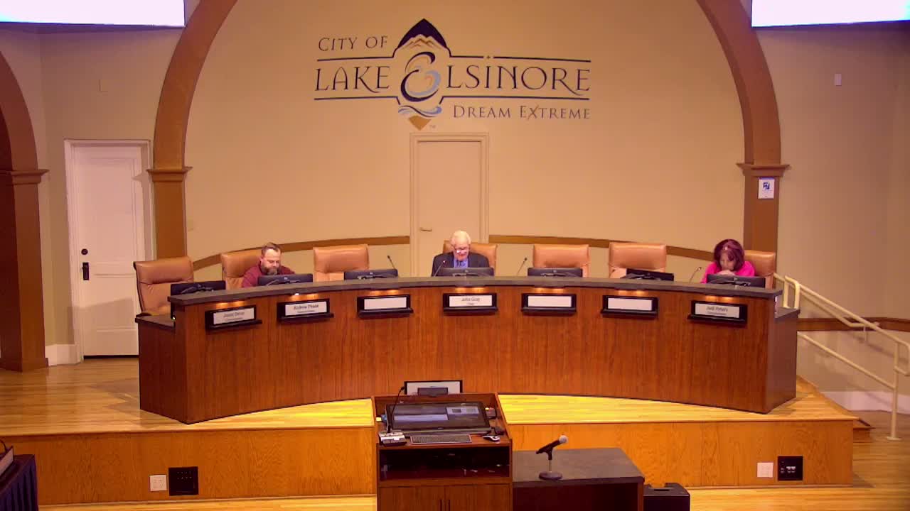
Several commissioners said staff’s presentation and the applicant’s explanation were helpful and that the parcel split for financing does not, by itself, authorize construction. The commission closed the public hearing and, after a motion moved by Commissioner Peters and seconded by Commissioner Pease, voted 3–0 to approve the tentative parcel map, noting Commissioner Devore’s absence.
The approval authorizes the map for financing and annexation steps; staff and the applicant said any future development proposals will require separate applications and public hearings where technical studies and mitigation measures would be considered.