Menomonee Falls board approves Hilltop Grove rezoning after months of debate on traffic and wetlands
Get AI-powered insights, summaries, and transcripts
Subscribe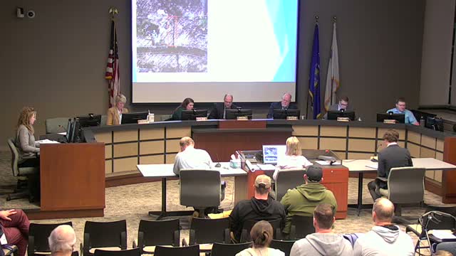
Summary
After a lengthy public hearing in which dozens of residents raised traffic, runoff and wildlife concerns, the Menomonee Falls Board of Trustees approved an ordinance rezoning about 76 acres for the 130-home Hilltop Grove planned residential development; the developer and county traffic consultant said studies and mitigation measures informed the decision.
The Menomonee Falls Village Board voted unanimously on Feb. 16 to adopt an ordinance rezoning two parcels to create the Hilltop Grove planned residential development, a proposal for about 130 single-family homes on roughly 76 acres (about 66 net developable acres).
Supporters and applicants said the project meets the village’s low-density residential plan designation and that recent traffic and environmental studies informed mitigation measures. Ben Lang of Viridian Homes, the applicant, told the board the site plan preserves wetlands and open space and that the traffic-impact analysis (TIA) did not project level-of-service reductions below a level of service C for most movements; he said the team added a bypass lane at the Mill Road intersection and will install forward-warning signs with flashing beacons to improve visibility.
Why it matters: The hearing drew extensive public comment from nearby residents warning that the development could worsen traffic on narrow, hilly roads, harm sensitive wetlands and displace wildlife. The board’s decision moves the rezoning into the village’s permitting and state wetland-review processes; several commenters asked for additional environmental review and DNR involvement before final construction permits.
What residents said: Dozens of neighbors spoke during the public hearing, several citing safety and environmental concerns. James Adams said the site hosts locally known, federally protected species and urged more due diligence, saying, “They are federally protected.” Bruce Amel, a resident of more than 33 years, warned the additional homes would add roughly two cars per house and said, “With the hills and intersections in this area, then add all of this extra traffic. Accidents will happen.” Other neighbors raised concerns about groundwater and runoff, lot sizes, and the adequacy of notice about the application.
Applicant response and technical findings: Viridian Homes and its consultants addressed the concerns in the meeting. The applicant’s traffic consultant explained the study methodology and scope set by Waukesha County and the village, stating the county required a 10-year forecast and that heavy vehicles and school traffic were included in counts. The consultant clarified there were two crash studies: an intersection-level study (no fatalities) and a corridor study that included a fatality upstream. The applicant said wetlands on the site will be surveyed and, where fills are proposed, will proceed through Wisconsin DNR mitigation processes and required federal Army Corps jurisdictional determinations. As the applicant described, mitigation credit purchases would be required for fills exceeding 10,000 square feet.
Board action and next steps: Trustee motioned to approve the ordinance rezoning the parcels (tax key numbers cited in the motion). After questions and comments from trustees and applicants about grading, drainage and the location of proposed beacons and turn lanes, the board voted to adopt the ordinance unanimously. The approval sets the zoning; further permitting steps — wetland mitigation approvals, sanitary sewer extension reviews and final engineering — remain before site work and any wetland fills can proceed.
Numbers and clarifications: The applicant described the plan as 130 single-family homes, lot sizes ranging from about 9,000 to 35,000 square feet (median ~12,036 sq ft), and a net density of less than two homes per net acre. The applicant said preliminary stormwater and wetland mitigation analyses are in progress and that any fill above 10,000 sq ft would require mitigation credits and further permit reviews.
What remains unresolved: Residents pressed the board about additional corridor-level traffic impacts (outside the study area), possible long-term impacts on local roads and wildlife habitat protections. The board and applicant noted the remainder of the approvals will include technical reviews by county, DNR and the Army Corps where jurisdiction applies.
The vote: The rezoning ordinance passed unanimously; the board’s approval moves the proposal into the permitting and mitigation phase required by state and federal processes.