Get Full Government Meeting Transcripts, Videos, & Alerts Forever!
Get email alerts on the Transportation topic
No spam. Unsubscribe anytime.
County approves abandonment of portion of County Road 372 and accepts new Canyon Overlook Drive easement
Summary
After a public hearing the commission approved petition 864 to abandon a portion of County Road 372 and accepted a dedicated public access and utility easement for Canyon Overlook Drive to align access with the newly constructed roadway and Highway 64; the viewers' report and petitioner materials were accepted and the actions were approved by voice vote.
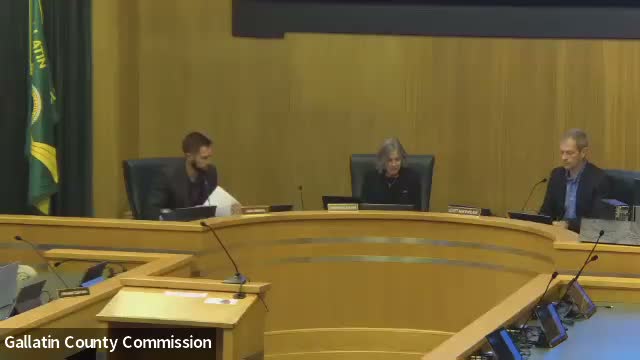
The Gallatin County Commission on Nov. 4 approved a petition to abandon a portion of County Road 372 and accepted a dedication of public access and utility easement for the new Canyon Overlook Drive alignment.
Eric Semrad, Gallatin County clerk and recorder, outlined petition No. 864 and the viewers' report: the petition was certified after August filing, a viewing committee inspected the alignment, and the report recommended abandonment because the existing easement did not reflect the newly constructed roadway. Semrad said the new approach lines up with Powderlight and provides legal and physical access to Cold Smoke Subdivision No. 1. "The new access has already been paved," he said.
Derek Christiansen of Exon Engineering, representing project interests, described the change as largely administrative and said the work was intended to follow county standards. The commission moved to adopt resolution 2025‑093 to abandon the identified portion and later adopted resolution 2025‑094 to accept the executed easement for Canyon Overlook Drive; both motions passed by voice vote.
Next steps: recordation of the easement and related documents and coordination with the county’s rights‑of‑way records.