Get Full Government Meeting Transcripts, Videos, & Alerts Forever!
Get email alerts on the Land Use topic
No spam. Unsubscribe anytime.
Council hears Sonora Bank neighborhood plan and adjacent landowner’s concerns
Summary
Council introduced Ordinance 2026-07 for the Sonora Bank neighborhood plan (about 9.73 acres at 602 SW Carlos G. Parker Blvd). Staff recommended the plan as generally consistent with the comprehensive plan; an adjacent farmer raised traffic, drainage and well‑proximity concerns during public hearing.
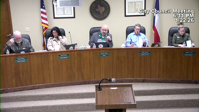
City planning staff introduced a neighborhood plan for a proposed Sonora Bank site at 602 Southwest Carlos G. Parker Boulevard and the council opened a public hearing Jan. 22 ahead of a first reading of Ordinance 2026‑07.
Planning Manager Joseph Duque described the proposal as a neighborhood plan for approximately 9.73 acres that would place the site predominantly in the P‑5 urban‑center place type and listed two requested warrants (including a maximum block length and allowing parking within the first and second layers of frontage). Staff told the council the plan is relatively consistent with the future land‑use map and that Planning & Zoning recommended approval at its Jan. 13 meeting.
Sonora Bank representative Nica Smith said the bank is "excited to become a part of the Taylor community" and offered to answer questions. A seller of the property, Buddy Vanacek, told the council the developer had met with neighbors and described the bank as an asset to downtown.
David Kautz, owner of an adjacent 100‑acre working farm, provided detailed public comment raising five specific concerns: (1) traffic at the Carlos Parker/FM 973 intersection (he cited multiple Taylor Police incident reports and asserted about 20,000 vehicles per day), (2) the proximity of his historic water well (which he said is one foot from the property line), (3) preservation of an access easement to that well, (4) potential drainage and erosion toward his stock tank, and (5) safety/liability related to a three‑acre pond near the tract. Kautz said he had provided the council with exhibits and that the developer’s team had since contacted him to discuss mitigation.
Council members asked staff and the applicant about ingress/egress and the timing of a traffic‑impact analysis; staff said such analyses and TxDOT coordination are part of subsequent engineering steps. The council closed the public hearing and the City Attorney introduced Ordinance 2026‑07 for a first reading to amend the official zoning map consistent with the neighborhood plan.
Next steps include site development, engineering design, traffic studies and additional neighborhood outreach during the site‑plan process.