Get Full Government Meeting Transcripts, Videos, & Alerts Forever!
Get email alerts on the Land Use topic
No spam. Unsubscribe anytime.
Lake Elsinore council approves tentative parcel map to create conservation parcels, allow mitigation bank
Summary
The council approved Tentative Parcel Map No. 38825 to subdivide a 74.72-acre site into three conservation parcels to support a mitigation bank, granted fee waivers tied to a no-vertical-development condition, and directed that any application to change the map return to council.
The Lake Elsinore City Council voted to approve Tentative Parcel Map No. 38825, a proposal to subdivide a 74.72-acre property into three parcels for conservation and to enable a mitigation bank that developers may use to purchase habitat credits.
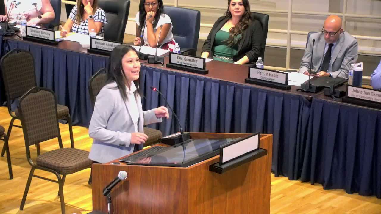
Principal Planner Nancy Winn told the council the vacant site spans 74.72 acres, consists of 24 existing parcels and lies within Planning Area 8 of the East Lake Specific Plan; staff recommended the council find the project exempt from the California Environmental Quality Act and approve the map with conditions. "The project site is currently vacant and includes 24 parcels and was within planning area 8 of the East Lake specific plan," Nancy Winn said during her presentation.
Why it matters: the creation of a mitigation bank provides a local mechanism for developers to offset environmental impacts by buying credits from a restored habitat on the conserved parcels, rather than pursuing mitigation offsite. Staff said the parcel will undergo habitat rehabilitation to create a restored natural area needed for Lake Elsinore and then be available as a mitigation bank.
During discussion the city attorney and council members sought clearer language tying fee waivers to the property's continued non-development. The applicant requested waivers of the drainage fee, traffic impact fee and annexation into Community Facilities District 2015-2 because the proposal involves no vertical construction and the parcels would not be publicly accessible; the attorney recommended adding verbiage making the waiver contingent on there being no vertical development and ensuring any future proposal for development would return to council and be assessed the appropriate fees.
Councilmember McGee moved to approve the map; Councilwoman Natasha Johnson seconded. The meeting record shows the motion as passing "4–0." The motion and conditions included the clarified language that fees would be reinstated if the parcels were later proposed for vertical development.
The council also found the project consistent with the multiple-species habitat conservation plan and adopted the related resolution to approve Tentative Parcel Map No. 38825. No members of the public spoke on the item during the hearing. The council closed the public hearing at 7:18 p.m.