Get Full Government Meeting Transcripts, Videos, & Alerts Forever!
Get email alerts on the Trees Conservation topic
No spam. Unsubscribe anytime.
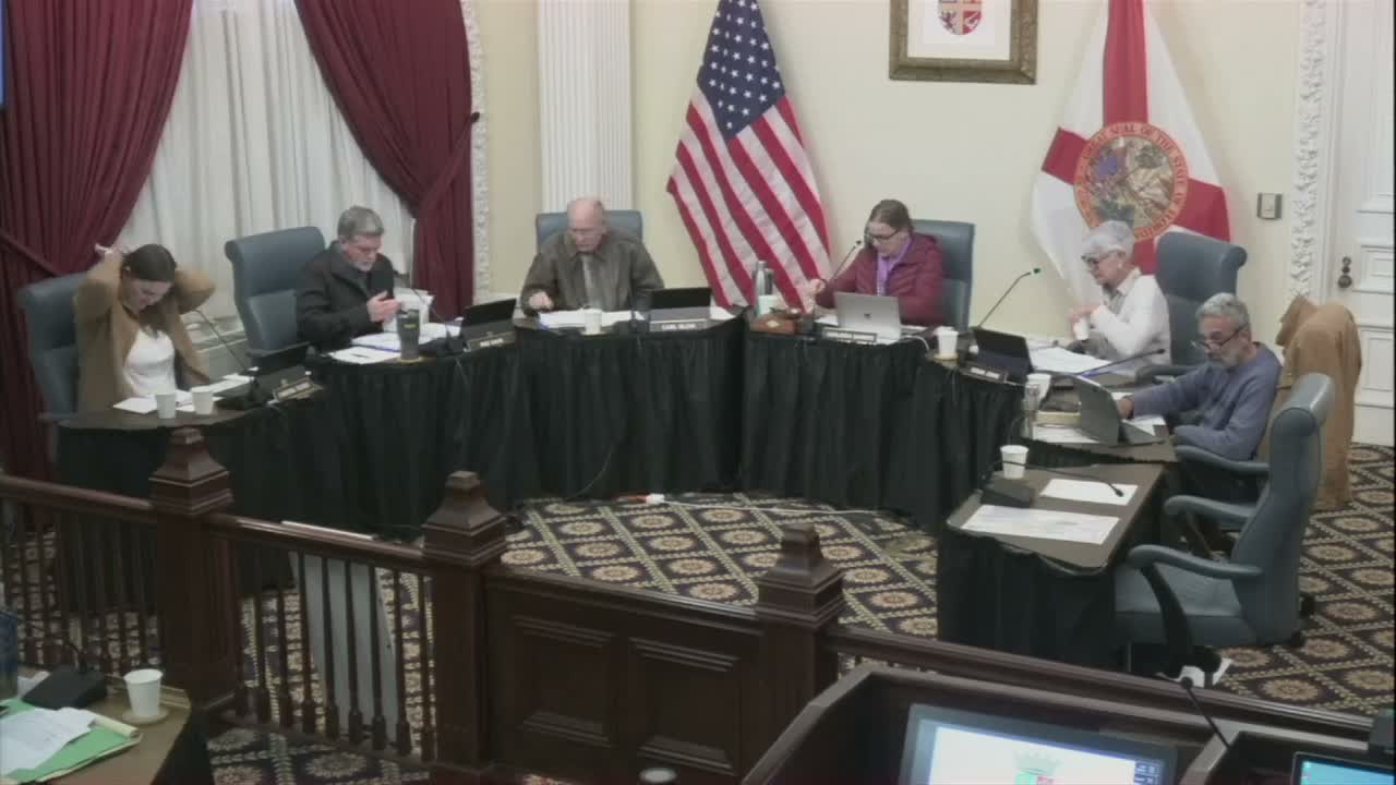
Board approves multiple Madeira subdivision tree‑removal requests after arborist inventories and site tweaks
Summary
The Planning & Zoning Board approved several conservation‑overlay tree‑removal applications for individual lots in the Madeira subdivision after applicants presented arborist inventories, revised house sitings designed to save larger trees and clarifications that the overall plat and park areas were already recorded.
The Planning & Zoning Board approved a series of conservation‑overlay lot applications in the Madeira subdivision (PZB2026‑0002 through PZB2026‑0006), allowing limited removal of significant trees for construction of single‑family homes while noting applicants’ commitments to retain larger specimens where feasible.
Applicants and their consultants presented arborist inventories, GPS‑identified tree surveys and revised house placements intended to maximize tree preservation. In several cases presenters said the project yielded a net tree‑credit surplus (more inches of retained DBH than removed) by shifting footprints, flipping house orientations, and preserving trees in drainage/buffer areas.
A nearby resident, Jessica Muscatello, expressed neighborhood concern about cumulative loss of canopy and wildlife habitat, noting sightings of bald eagles and spoonbills and asking whether preserved park areas remained under the subdivision plat. City staff and the applicant clarified that the subdivision is platted and that open‑space parks and recorded buffers are not part of the lot‑level approvals; staff also reiterated that planning approval for tree removal does not substitute for required land‑development, grading or state water‑management permits.
Board members generally said the applicants had made reasonable efforts to protect large live oaks and other high‑value trees and approved each lot’s request by roll call. Several members asked applicants to include arborist documentation with future submittals and to provide crown measurements for trees adjacent to proposed foundations so final civil plans reflect long‑term tree viability and homeowner insurance concerns.
What happens next: These approvals allow applicants to move to civil plan review, permitting and, where necessary, grading and land‑development permitting; staff reminded applicants about state buffer rules and the need to avoid impacting recorded natural buffer areas.