Get Full Government Meeting Transcripts, Videos, & Alerts Forever!
Get email alerts on the Tod Plan topic
No spam. Unsubscribe anytime.
Hanford adopts high‑level TOD vision for Kings/Tulare high‑speed rail station area
Summary
Council adopted a transit‑oriented development (TOD) vision plan for the proposed Kings/Tulare high‑speed rail station area and along Lacey Boulevard. The plan is a conceptual guide — not a zoning change — that outlines mixed‑use corridors, an institutional district and a production/innovation employment hub and notes follow‑on approvals will be required.
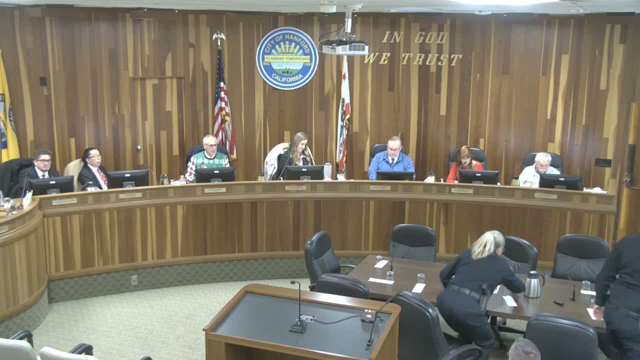
The Hanford City Council adopted a transit‑oriented development (TOD) plan on Dec. 16 to establish a vision for the area around the proposed Kings/Tulare high‑speed rail station and along Lacey Boulevard.
Staff described the document as a grant‑funded (approximately $650,000) visioning and planning framework that identifies mixed‑use corridors near the station, a production and innovation district intended for employment uses, institutional areas for training/education and an open‑space network. The plan prioritizes a multimodal street grid with bike and pedestrian connections designed to link the station area back to downtown and discourages creating a second isolated downtown.
The council and consultant stressed the plan does not itself change land uses, zoning or entitlements; additional actions — plan amendments, annexation, CEQA clearances and specific plans — would be required before development could proceed. Staff also noted the plan includes preliminary infrastructure cost estimates (several hundred million dollars in total programmatic infrastructure if fully built out), but emphasized those costs would be funded principally through developer impact fees, land‑secured financing and other project‑level mechanisms rather than a single city appropriation.
Supporters said early planning will help the city position itself for future opportunities linked to the station and will guide later decisions about corridors, cross‑sections and public‑realm improvements. The council adopted the plan as a guiding vision and directed staff to make a minor correction to one appendix map (correcting a highway designation from SR‑43 to SR‑198).