Get Full Government Meeting Transcripts, Videos, & Alerts Forever!
Get email alerts on the Rezoning Pud topic
No spam. Unsubscribe anytime.
Planning board continues rezoning hearing for 404 Riberia Street PUD, asks for clearer height, stormwater and public‑access details
Summary
The Planning & Zoning Board continued a major rezoning/PUD for 404 Riberia Street to Nov. 5, asking the applicant for clarified measurements for the requested 50‑foot height, topo/finished‑floor data, final landscaping and stormwater plans and tightened PUD language restricting non‑marine uses.
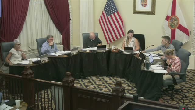
The St. Augustine Planning & Zoning Board on Oct. 1 moved the rezoning of 404 Riberia Street — a roughly 30‑acre marine industrial parcel on the San Sebastian Corridor — to a second hearing on Nov. 5 after months of staff review and a community meeting.
Attorney James Whitehouse, representing the new owners, told the board the proposal would redevelop an older working‑waterfront site by adding enclosed boat storage and renovating existing marine service facilities while preserving marshland and improving the Riberia corridor’s streetscape. Whitehouse said the PUD is intended to “allow for the increased height within the current long‑standing marine industrial land use” so the site can offer industry‑standard dry‑stack boat storage and modernized service bays.
Board members praised the prospect of removing deteriorated concrete dock sections and restoring marsh vegetation, but raised recurring concerns about how the proposed 50‑foot building height would be measured and the potential for non‑marine uses to appear in the future. “If the PUD is to change zoning, we need precise language about what is allowed and what isn’t,” said a board member during discussion.
Staff and the applicant agreed to supply detailed topo/finished‑floor elevations and to match language used in recent, similar waterfront PUD approvals so measurement of the permitted height is consistent across projects. The board also asked the applicant to provide final landscaping plans and stormwater calculations showing how on‑site retention will meet city and water‑management district rules.
Several board members urged the applicant to explicitly exclude uses that would increase peak‑hour traffic compared with existing approvals — notably a previously approved restaurant that would have generated substantially more peak trips — and to specify whether certain accessory uses (for example, a clubhouse) could operate as eating establishments. The applicant agreed to remove ambiguous “including but not limited to” phrasing where it would create interpretive risk.
The board voted unanimously to continue the matter to Nov. 5, directing the applicant to return with clarified PUD text (explicit lists of permitted uses and disallowed uses), site topo/grade data, the landscape plan, staged phasing/commencement and a 10‑year completion/phase window. The continuation gives the community another opportunity to review the refined materials before a recommendation to the City Commission.