Get Full Government Meeting Transcripts, Videos, & Alerts Forever!
Williamson County adopts Atlas 14 floodplain maps to guide planning and flood response
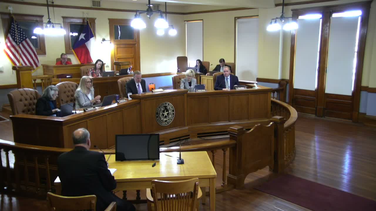
Williamson County Commissioners Court · March 24, 2026
AI-Generated Content: All content on this page was generated by AI to highlight key points from the meeting. For complete details and context, we recommend watching the full video. so we can fix them.
Summary
Commissioners unanimously adopted the Williamson County Atlas 14 floodplain mapping study March 24, citing its value for planning and flood resilience after recent flooding; the county made the final materials available on its website.
Williamson County Commissioners Court unanimously approved the adoption of the county’s Atlas 14 floodplain mapping study on March 24, endorsing updated maps county staff say will help local governments and residents prepare for flood risk.
The judge thanked…
Already have an account? Log in
Subscribe to keep reading
Unlock the rest of this article — and every article on Citizen Portal.
- Unlimited articles
- AI-powered breakdowns of topics, speakers, decisions, and budgets
- Instant alerts when your location has a new meeting
- Follow topics and more locations
- 1,000 AI Insights / month, plus AI Chat
30-day money-back on paid plans