Get Full Government Meeting Transcripts, Videos, & Alerts Forever!
Plan Commission approves certified survey map to combine parcels across plat boundary
Summary
The Appleton City Plan Commission approved Certified Survey Map No. 1925 to combine four parcels into a single lot; staff noted state statute requires plan commission approval for CSMs that cross plat boundary lines and conditioned final signatures on completion of staff comments and common council approval of the rezoning.
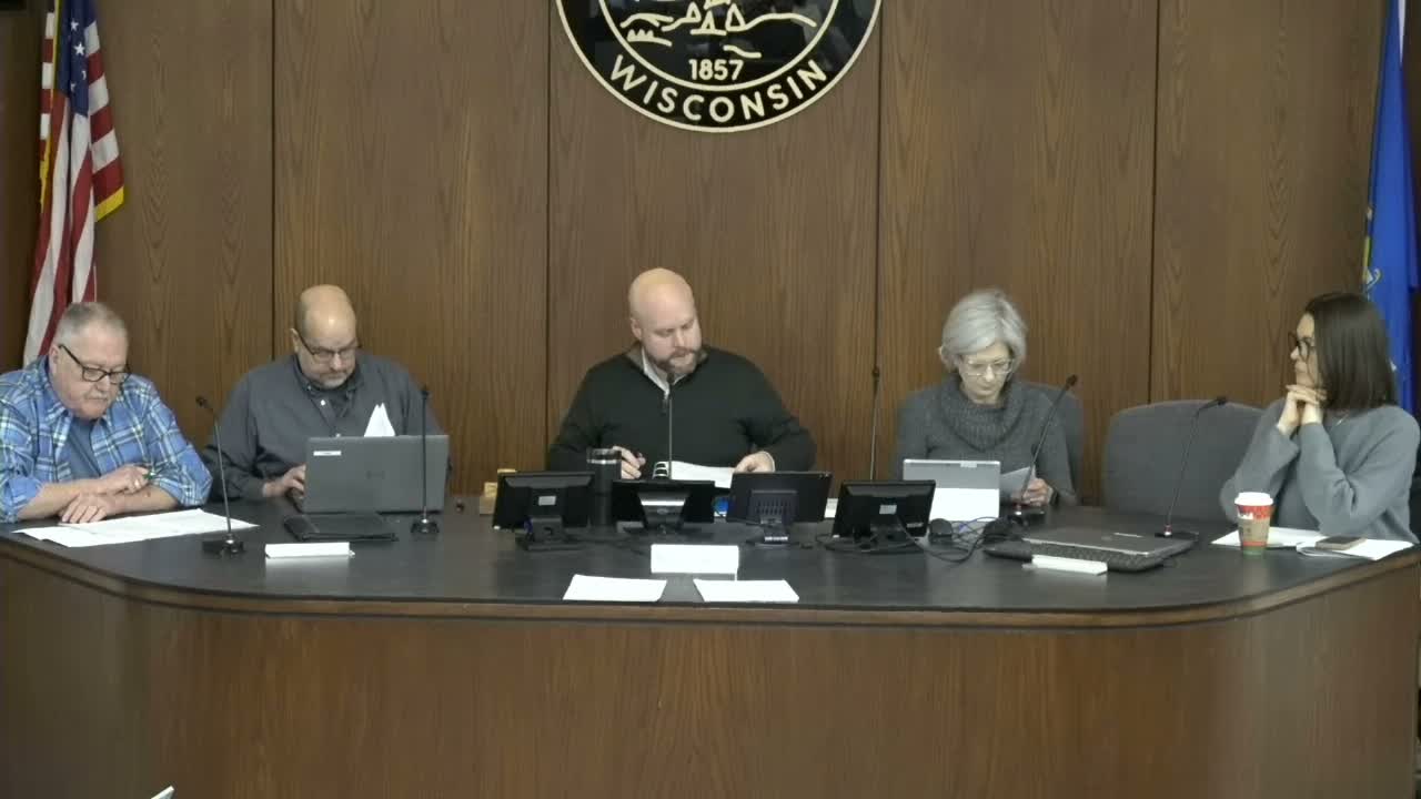
The Appleton City Plan Commission on Jan. 28 approved Certified Survey Map (CSM) No. 1925 to combine four parcels, including portions of the main Xavier parcel and adjacent lots on North Oneida and North Morrison streets, into a single lot.
Colin, a city staff member, explained that part of the main Xavier parcel lies within a previous plat while the other parcels are in a different plat, and that state statute…
Already have an account? Log in
Subscribe to keep reading
Unlock the rest of this article — and every article on Citizen Portal.
- Unlimited articles
- AI-powered breakdowns of topics, speakers, decisions, and budgets
- Instant alerts when your location has a new meeting
- Follow topics and more locations
- 1,000 AI Insights / month, plus AI Chat