Get Full Government Meeting Transcripts, Videos, & Alerts Forever!
Get email alerts on the Urban Growth Area topic
No spam. Unsubscribe anytime.
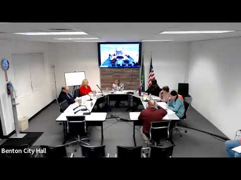
Planning commission votes to expand Benton City urban growth area to include Area 1 and Area 2
Summary
Benton City staff recommended and the planning commission approved an expansion of the Benton City Urban Growth Area (UGA) to include parcels identified in Area 1 and Area 2; staff emphasized the action fills gaps adjacent to city limits and noted timing constraints on the county process.
The Benton City Planning Commission approved a staff-recommended expansion of the Benton City urban growth area to include parcels listed as Area 1 and Area 2 in the staff packet.
Staff told the commission the expansion is a strategic, largely map-based step intended to "fill in" unincorporated parcels adjacent to city limits so that future development would be built to city standards and, when necessary, parcels could connect to city services. Staff said the action is time-sensitive because the county’s open window for these updates is extended only until the end of the month.
Troy Phillips, who identified himself for the record as representing Ultimate Madeline LLC, testified in favor of the expansion on behalf of the property owner and described prior orchard clearing on the property. "I represent Ultimate Madeline LLC," Phillips said; he added he was "wholeheartedly in favor" of the proposed inclusion.
Staff walked the commission through procedural materials including two formats for draft findings and recommended either adopting the findings as amended or allowing staff to reprint corrected copies; the commission voted to adopt the findings, with staff to incorporate small edits and obtain the chair’s signature. The transcript records motions and their approval by voice assent but does not provide a roll-call vote tally.
Staff also explained that the SEPA review for map-related actions typically results in a DNS (determination of nonsignificance) and that later project-level reviews may require mitigation if state agencies raise concerns. Commissioners discussed timing, the county’s role in assigning corresponding zoning, and the practicality of bringing parcels into the UGA to avoid mismatches in standards at annexation.
Next steps: staff will finalize and sign the adopted findings, update the packet format to make maps more readable, and proceed to transmit the approved expansion to the county for consideration under the current extension window.