Get Full Government Meeting Transcripts, Videos, & Alerts Forever!
Planning Commission approves tentative parcel map to split 3.95‑acre lot into two residential parcels
Summary
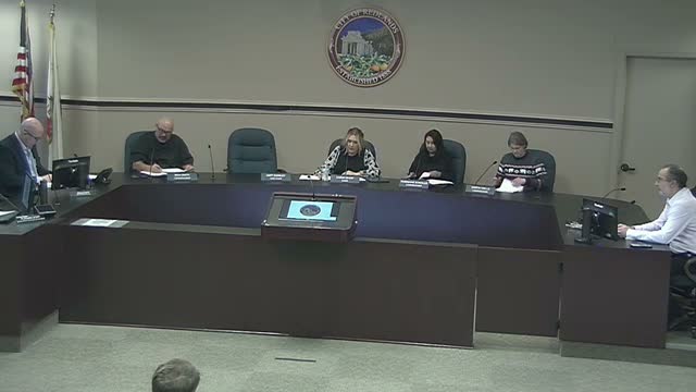
The Redlands Planning Commission on Dec. 10 approved Tentative Parcel Map No. 20560 to subdivide a 3.95‑acre property at South LaSalle Street and 6th Avenue into two residential parcels and a remainder; staff said the project met CEQA exemptions and yielded a positive cost/benefit ratio.
The Redlands Planning Commission voted Dec. 10 to approve Tentative Parcel Map No. 20560, a request to divide a 3.95‑acre parcel at the northwest corner of South LaSalle Street and 6th Avenue into two new residential lots and a 2.53‑acre remainder.
Jasmine Serrato, a city planner, told the commission the applicant, Matt Thalmeier, proposed two parcels sized about 30,000 square feet and 31,702 square feet and that no immediate development is proposed for the site. Serrato said the project is…
Already have an account? Log in
Subscribe to keep reading
Unlock the rest of this article — and every article on Citizen Portal.
- Unlimited articles
- AI-powered breakdowns of topics, speakers, decisions, and budgets
- Instant alerts when your location has a new meeting
- Follow topics and more locations
- 1,000 AI Insights / month, plus AI Chat