Get Full Government Meeting Transcripts, Videos, & Alerts Forever!
Get email alerts on the Land Use topic
No spam. Unsubscribe anytime.
Planning Commission approves tentative parcel map to split 3.95‑acre lot into two residential parcels
Summary
The Redlands Planning Commission on Dec. 10 approved Tentative Parcel Map No. 20560 to subdivide a 3.95‑acre property at South LaSalle Street and 6th Avenue into two residential parcels and a remainder; staff said the project met CEQA exemptions and yielded a positive cost/benefit ratio.
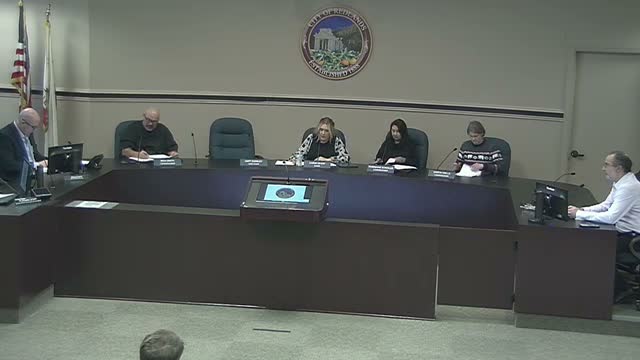
The Redlands Planning Commission voted Dec. 10 to approve Tentative Parcel Map No. 20560, a request to divide a 3.95‑acre parcel at the northwest corner of South LaSalle Street and 6th Avenue into two new residential lots and a 2.53‑acre remainder.
Jasmine Serrato, a city planner, told the commission the applicant, Matt Thalmeier, proposed two parcels sized about 30,000 square feet and 31,702 square feet and that no immediate development is proposed for the site. Serrato said the project is within the General Plan's very low‑density residential designation and, under Senate Bill 330, the city applied the General Plan density and equivalent RA (Residential Estate) zoning standards to the proposal.
Serrato said staff found the subdivision qualifies for minor‑land‑division and infill CEQA exemptions (staff cited CEQA sections 15315 and 15332) and that a socioeconomic cost‑benefit study attached to the staff report estimated annual revenue of 4,990 and annual costs of 13,007, producing a positive cost‑benefit ratio the staff summarized as 3.71. "Overall, the project meets the findings," Serrato said, recommending adoption of Resolution No. 1674 to approve the tentative parcel map subject to the conditions of approval listed in the staff report.
The chair opened the public hearing and, after receiving no in‑person or written public comments, closed it. Commissioner Smith said he supported the proposal, and the commission voted to approve the application.
Action details: the motion to approve the application for Tentative Parcel Map No. 20560 was moved by Commissioner Smith and seconded by Vice Chair Inslee; the chair called for the vote and recorded the decision as "Aye," after which the chair announced the motion carried. The staff report and conditions will govern next steps, including any required permit applications should the parcels be developed.
The commission then moved to other agenda items; the meeting was adjourned to the next regular meeting on Jan. 14, 2025.