Get Full Government Meeting Transcripts, Videos, & Alerts Forever!
Get email alerts on the Land Use topic
No spam. Unsubscribe anytime.
Planning panel approves rezoning and preliminary plan for 41-townhome Veil Homes with conditions
Summary
Lexington Planning Commission approved a rezoning from R1B to R2 and a preliminary development plan to allow 41 townhome units on ~3.3 acres near Clays Mill Road, approving a spacing waiver and attaching standard departmental sign-offs and plan corrections; public commenters pressed concerns about traffic, tree removal and density.
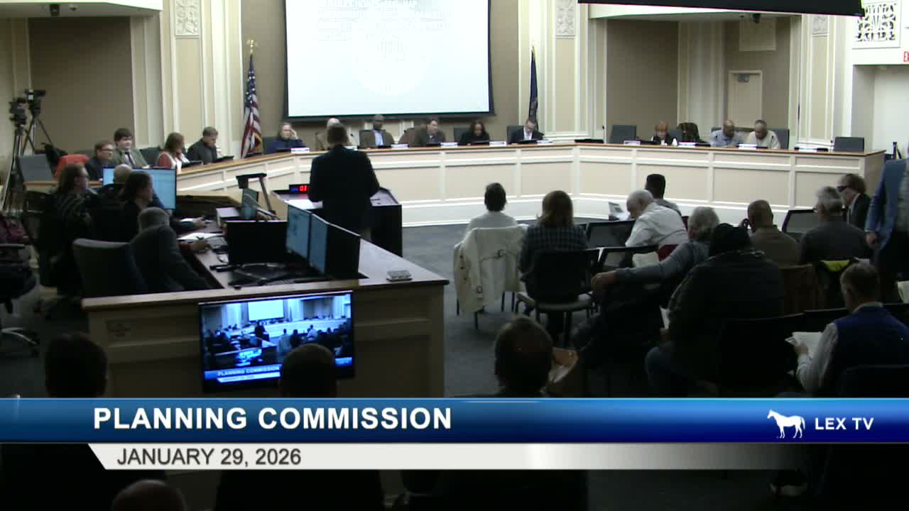
The Lexington Planning Commission on Jan. 29 approved a rezoning and preliminary development plan that will allow Veil Homes to build 41 townhome units on roughly 3.3 acres near Clays Mill Road.
Planning staff presented the request, PLN MAR25-18, recommending a change from R1B to R2 to facilitate a low-density residential townhome development. Staff said the site is about 0.3 miles inside New Circle and that the proposal would connect an existing stub street (Loretta Drive) through to Claes Mill, improving neighborhood connectivity. Staff noted three substantive concerns — a mapped Kentucky Geological Survey contour indicating a possible sinkhole, recent tree removal on the parcel, and the adequacy of earlier public outreach — but concluded the application met comprehensive-plan criteria for infill and recommended approval subject to final development-plan review and required conditions including the standard 30% canopy/lot-coverage demonstration at final plan stage.
Residents who spoke during public comment raised traffic and safety concerns along Clays Mill Road (several speakers cited numerous nearby schools), questioned whether 41 units were excessive for the parcel, challenged the timing and circumstances of tree removal, and asked for additional geotechnical review. “Clays Mill Road right there is neither safe or efficient,” said Eileen Lindsey, citing difficulties turning from adjacent streets during peak hours. William Burke, a long-time adjacent property owner, told the commission he had reviewed contract language and that trees appeared to have been removed under terms of sale before the developer was involved, a sequence he said merited scrutiny.
The applicant and their engineers said they had conducted additional borings and testing after staff’s recommendation. Matt Carter of Vision Engineering described the geotechnical findings as indicating a depression or borrow area rather than a true karst sinkhole: “All the indicators…point away from this being a sinkhole,” Carter told the commission, describing consistent rock core quality and stable soil profiles in sampled borings. The developer also revised the street cross-section plans with traffic engineering to narrow portions of Holland Drive to 24 feet in sections (with no parking in the narrower section) and to retain 31-foot widths in short segments where on-street parking would be allowed.
Commissioners debated environmental and tree-canopy concerns, parking and on-street access, and the scope of the preliminary review vs. final sign-offs. Staff and engineering clarified that this hearing considered a preliminary development plan and that subsequent preliminary subdivision and final record plat phases would require engineering, traffic, urban-forest/open-space and environmental sign-offs.
Action: Commissioner Forrester moved to approve the zone change (PLN MAR25-18); Commissioner Wilson seconded. The commission approved the zone change with one dissenting vote. The preliminary development plan (PLN MJDP25-65), after staff revisions, carried unanimously. The waiver request to reduce local street spacing along Clay’s Mill Road (PLN WAV205-57) was approved with one dissent, subject to the standard departmental sign-offs and correcting noted deficiencies.
What happens next: The approvals were for preliminary actions. Engineering, traffic, urban forest and environmental departments must sign off on the preliminary subdivision and final record plat stages; standard technical conditions noted in staff reports must be addressed before construction permits would be issued.
Commissioners and residents asked for continued transparency about the geotechnical review, tree mitigation and final street design as the project advances through the subdivision and final-plan process.