Get Full Government Meeting Transcripts, Videos, & Alerts Forever!
Get email alerts on the Resilience topic
No spam. Unsubscribe anytime.
Fort Pierce commission accepts regional resilience assessment, staff says maps will aid grant efforts
Summary
The City of Fort Pierce voted to accept (not adopt) the St. Lucie County Regional Resilience Plan and an accompanying vulnerability assessment to get asset mapping and position the city for funding to address flooding, sea‑level rise and other hazards.
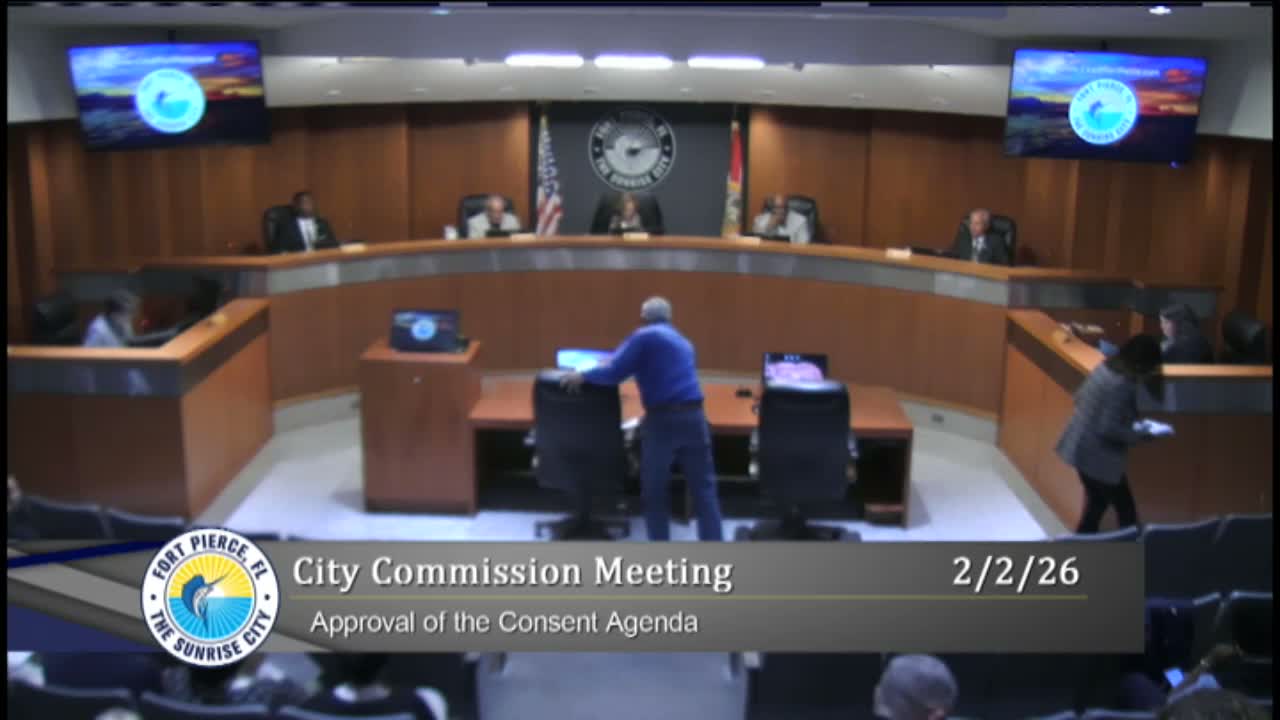
The Fort Pierce City Commission on Feb. 2 accepted the St. Lucie County Regional Resilience Plan and its vulnerability assessment, a staff‑led report the county and neighboring communities say will help the city map vulnerable assets and make stronger applications for outside funding.
County resilience navigator Sandra Bogan told commissioners the action being requested that night was acceptance, not adoption, and that the vulnerability maps and analysis will help the city “find cost share” and produce applications that are more competitive for grants.
The plan and assessment collect data on rainfall, storm surge and sea‑level rise impacts, and county staff said they can provide the city with GIS layers that show both impacts and, on request, the location of city assets. Paul Thomas, the city’s director of building, joined county staff in the chambers and described a concurrent local vulnerability assessment the city is preparing to “dial in” analysis for Fort Pierce specifically.
Commissioners pressed for practical follow‑ups: several asked for paper and wall‑mounted color maps so elected officials and the public can see how assets are affected; others warned that the assessment will identify expensive repairs and replacements and asked staff to break the work into phases and funding pathways. Planning staff said that the regional assessment is intended to position the city to compete for funding and that later, more detailed local engineering and cost estimates would be required to move from assessment to construction.
The commission approved a motion to accept the report after a motion and second and a roll‑call vote in favor. Staff and county representatives said the vulnerability assessment will not itself obligate local funding; it will be a planning tool to support grant applications and prioritization.
Next steps identified in the meeting: the county will provide GIS files to city staff on request; the city will continue work on its local vulnerability assessment and follow up with city departments to identify priority projects and potential funding strategies.