Get Full Government Meeting Transcripts, Videos, & Alerts Forever!
Caroline County board reviews new burial-sites map from GIS planner and debates data, pop-ups and public access
Caroline County Burial Sites Preservation Board · March 30, 2026
AI-Generated Content: All content on this page was generated by AI to highlight key points from the meeting. For complete details and context, we recommend watching the full video. so we can fix them.
Summary
Board members reviewed a new, not-yet-public burial-sites map prepared by the county GIS planner Nathan Stevens, discussed adding parcel and road data to pop-ups, debated including common cemetery names and aerial imagery, and recommended disclaimer language before any public release.
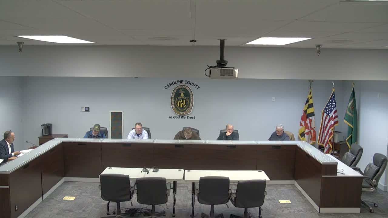
Caroline County's Burial Sites Preservation Board reviewed a new burial-sites map the board said was prepared by county GIS planner Nathan Stevens. The map uses blue-dot markers that link to SDAT parcel information; presenters showed how clicking a marker reveals parcel data…
Already have an account? Log in
Subscribe to keep reading
Unlock the rest of this article — and every article on Citizen Portal.
- Unlimited articles
- AI-powered breakdowns of topics, speakers, decisions, and budgets
- Instant alerts when your location has a new meeting
- Follow topics and more locations
- 1,000 AI Insights / month, plus AI Chat
30-day money-back on paid plans