Lifetime Citizen Portal Access — AI Briefings, Alerts & Unlimited Follows
Milton resident urges committee to remove proposed Hopewell, Freemanville and Red Road trail segments to protect rural viewshed
Loading...
Summary
Christie Hayes, a Milton resident, told the Milton Trails Advisory Committee a 10-foot shared-use path along Hopewell, Freemanville and Red Road would ‘fundamentally change’ the city’s rural viewshed, threaten trees and her horses, and open the door to motorized personal vehicles on the paths.
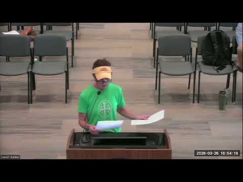
Christie Hayes, a Milton resident at 13585 Hopewell Road, told the Milton Trails Advisory Committee on Jan. 22 that proposed 10-foot shared-use paths along Hopewell, Freemanville and Red Road would “fundamentally change the character of Milton.”
Hayes said the city’s 2040 comprehensive plan emphasizes preserving the rural viewshed and scenic quality that drew many residents to Milton. She told the committee that paving a wide shared-use path would likely require removing trees, reduce private frontage and “endanger my horses” by placing a public path adjacent to her pasture. “Once that roadside character is altered, it's impossible to restore,” she said.
Hayes urged the committee to remove the Hopewell, Freemanville and Red Road segments from the Milton Trails blueprint map, arguing that including them on the blueprint would unlock design funding and make the projects more likely to advance. She said a 10-foot path could encourage personal transportation like golf carts to use the corridors and said “a 10 foot path forces [road cyclists] into conflict with walkers, dogs, strollers.”
Hayes said she is not opposed to trails in general and encouraged the city to open green space, but distinguished that from constructing paved sidewalks or multiuse paths on busy rural thoroughfares: “This isn't about my property…It's about whether we're going to maintain the rural corridors that define Milton or replace them with infrastructure that substantially and irrevocably changes our city.”
The committee did not take action on Hayes’s request during the meeting. Staff and members discussed next steps in outreach and emphasized that the blueprint map changes under consideration are recommendations that would be brought to mayor and council for review and any formal vote.
The committee chair and staff encouraged residents to use the project's survey and outreach channels to provide detailed feedback; staff said the survey would remain open about another week and a half and results will inform recommendations to council in May–June.