Get Full Government Meeting Transcripts, Videos, & Alerts Forever!
Get email alerts on the Public Safety topic
No spam. Unsubscribe anytime.
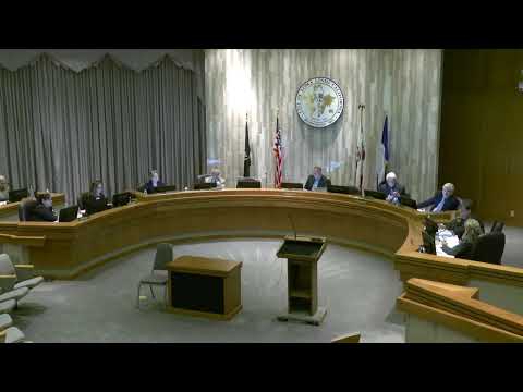
Loma Linda council introduces ordinance to adopt updated CAL FIRE hazard maps after technical briefing
Summary
City staff briefed the council on CAL FIRE's updated fire hazard severity maps and recommended introducing an ordinance to adopt the maps; the council voted unanimously to introduce the bill on first reading and set a second hearing for June 10, 2025. Council members pressed staff on insurance impacts and mitigation tools such as defensible space and community wildfire protection plans.
City staff presented updated fire hazard severity maps prepared using CAL FIRE methodology and recommended that the City Council introduce an ordinance on first reading to accept those maps for Loma Linda.
The presenter explained CAL FIRE's new three‑level designations—moderate, high and very high—and described the scientific inputs used to assign zones, including long‑term weather data, topography, slope, historical fire occurrences (1991–2020) and a firebrand (ember) production/transport model. The presenter said the maps use 30‑meter resolution scoring and that wildland zones must meet minimum area thresholds (wildland minimum 200 acres; urban zone minimum 20 acres). He also explained a rule in the proposed local ordinance that defaults a parcel to the higher severity level when it spans multiple zones.
The presenter addressed homeowner concerns about insurance. "People are losing their insurance not because of these maps," the presenter said, explaining insurers use separate internal actuarial models when deciding coverage and rates. He also told the council about AB 38 hazard‑disclosure inspections that require a seller's property inspection before close of escrow when a home falls in a hazard zone.
Council members pressed staff on practical mitigation and rate relief: tile roofs and vegetation management alone may not prevent ember intrusion if attic vents and other vulnerabilities remain; defensible space and construction measures (attic vent screening, dual‑paned windows, other Chapter 7A standards for new construction) were recommended. The presenter said community wildfire protection plans and neighborhood Firewise programs can help show preparedness and have in some cases led insurers to offer discounts, though insurers rely on their own underwriting.
Staff also said a single public comment was received during the city's public‑comment period: an email from the Building Industry Association of Southern California that raised concerns about added restrictions and development costs. Staff recommended adoption of "council bill 0 20 25 0 2" on first reading and set the second reading and adoption hearing for June 10, 2025; council members voted to introduce the bill on first reading and the motion carried unanimously. Staff said, if adopted, the ordinance and map would be sent to the Board of Forestry and posted according to legal requirements.
The council's next formal step is the June 10 hearing where the council will consider final adoption and any amendments. Staff noted the maps are required by state law and that the city must follow the statutory process for local adoption and posting.