Get Full Government Meeting Transcripts, Videos, & Alerts Forever!
Get email alerts on the Safe Routes To School topic
No spam. Unsubscribe anytime.
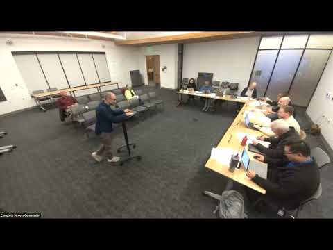
Parents press commission for safer school routes after master‑plan survey finds mixed completion
Summary
A commissioner’s survey of school routes found about half of the Complete Streets items marked done or partial; parents urged added bike lanes, speed bumps and sidewalk extensions on Bridal Drive and other routes during public comment, and a resident urged prioritizing a short block near a school after counting 54 pedestrians in 90 minutes.
Speakers at the public‑comment period urged the commission to treat school‑route safety as an urgent priority after the commission’s review of the Complete Streets master plan.
A volunteer who presented the commission’s school‑status survey summarized his findings as roughly half of master‑plan items completed, with high variation between schools and a small set of high‑priority gaps (notably the lack of RRFB‑style flashing crosswalks in several locations). He said his methodology was to compare observable features against the master plan and mark items done, partial or incomplete based on site visits.
During public comment, a parent described Bridal Drive as an unsafe route where children and bikes are forced into the roadway by congestion and inadequate sidewalks. The parent said speeding is common, and asked the commission to prioritize bike lanes, speed bumps or additional stop signs rather than preserving curbside parking as the top priority.
Another speaker, Jim Wayne, urged that the short block between Dublin and El Monte (near the school) be made a top priority for 2026–27; he said he counted roughly 54 pedestrians moving in one direction during a 90‑minute observation and described morning pickup activity by a water‑company vehicle that exacerbates hazards. Commissioners thanked the volunteers and asked staff to use these observations alongside city traffic data, police crash maps and the new citywide speed survey to identify high‑priority locations.
Commissioners and staff discussed using multiple data sources — the volunteer’s visual audit, police crash data and planned radar/speed studies — to prioritize a manageable number of near‑term projects and pilot interventions (signage, wayfinding, quick pavement treatments) that could be implemented ahead of larger capital work.