Get Full Government Meeting Transcripts, Videos, & Alerts Forever!
CAL FIRE maps place large swaths of San Bruno in high wildfire-hazard zones; city to adopt maps and start inspections
Summary
CAL FIRE officials explained new state fire hazard severity maps and the legal timeline for local adoption; San Bruno officials said the city will post maps for public review and begin an inspection program in very-high zones ahead of formal adoption.
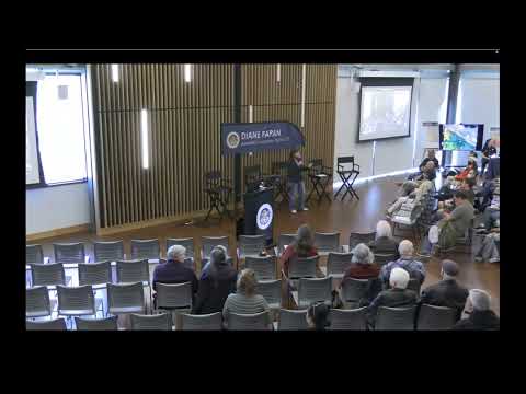
San Bruno officials and state fire experts told a packed public meeting that updated fire hazard severity maps—based on localized weather and ember-production modeling—will soon change planning, disclosure and inspection requirements for many Peninsula properties.
“Fire hazard area zones are not new,” said Brian Olson, a battalion chief with CAL FIRE’s Office of the State Fire Marshal, describing the maps’ legal history and the science behind the update. Olson said the new mapping uses localized wind and ember-transport data and that the maps characterize long-term hazard (50 years) rather than current short-term risk.
The maps transmitted to San Mateo County on Feb. 24 begin two statutory timelines: within 30 days local agencies must publish the maps for public review, and within 120 days…
Already have an account? Log in
Subscribe to keep reading
Unlock the rest of this article — and every article on Citizen Portal.
- Unlimited articles
- AI-powered breakdowns of topics, speakers, decisions, and budgets
- Instant alerts when your location has a new meeting
- Follow topics and more locations
- 1,000 AI Insights / month, plus AI Chat