Get Full Government Meeting Transcripts, Videos, & Alerts Forever!
Get email alerts on the Fire Hazard Maps topic
No spam. Unsubscribe anytime.
CAL FIRE maps place large swaths of San Bruno in high wildfire-hazard zones; city to adopt maps and start inspections
Summary
CAL FIRE officials explained new state fire hazard severity maps and the legal timeline for local adoption; San Bruno officials said the city will post maps for public review and begin an inspection program in very-high zones ahead of formal adoption.
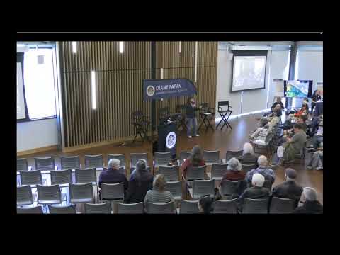
San Bruno officials and state fire experts told a packed public meeting that updated fire hazard severity maps—based on localized weather and ember-production modeling—will soon change planning, disclosure and inspection requirements for many Peninsula properties.
“Fire hazard area zones are not new,” said Brian Olson, a battalion chief with CAL FIRE’s Office of the State Fire Marshal, describing the maps’ legal history and the science behind the update. Olson said the new mapping uses localized wind and ember-transport data and that the maps characterize long-term hazard (50 years) rather than current short-term risk.
The maps transmitted to San Mateo County on Feb. 24 begin two statutory timelines: within 30 days local agencies must publish the maps for public review, and within 120 days they must adopt the recommended moderate, high and very-high LRA (local responsibility area) zones by ordinance or adopt locally adjusted lines. Once adopted, local jurisdictions must transmit their ordinance to the Board of Forestry and Fire Protection.
San Bruno Fire Chief Ari Delay said the city will place the maps on a council agenda in the coming weeks and is preparing an inspection program for properties in very-high zones. “We are working to stand up an inspection program in the very-high zone,” Delay said, adding the city will try to complete initial inspections by mid-summer and warned that local agencies may only expand—but not reduce—the state-designated hazard areas.
Residents pressed the panel on what the new designations mean for homeowners. A local realtor asked whether very-high designation triggers mandatory fire-hardening inspections; officials cited Civil Code 1102.19 and said that very-high zones carry minimum inspection requirements, while further local requirements may vary by jurisdiction. Chief Delay emphasized the distinction CAL FIRE makes between hazard (long-term probability) and an insurer’s assessment of risk (which incorporates mitigation done at a property).
Many residents asked who is responsible for maintaining easements and roadside vegetation. Panelists directed homeowners to their local city or county public-works departments, Caltrans (for freeway right-of-way), PG&E for power-line clearance, and the San Mateo County Fire Safe Council for assistance programs. Chief Delay said the city is working directly with PG&E and pressing the utility to increase inspections and vegetation management after repeated transformer incidents reported by residents.
Panelists encouraged homeowners to use CAL FIRE’s online viewer (fire.ca.gov) to check parcel-level hazard designations and to review the side-by-side comparison of the 2007 and updated maps. Olson said the maps will be reassessed periodically (CAL FIRE indicated a 5-year reassessment cadence) and that the state’s role is to identify hazards while local agencies implement ordinances and mitigation programs.
The city will accept public comment before finalizing any local ordinance and will provide contact information and staff resources for residents seeking property‑specific guidance. The meeting closed with officials offering one-on-one follow-up for residents with site-specific concerns.