Get Full Government Meeting Transcripts, Videos, & Alerts Forever!
Get email alerts on the Parks Master Plan topic
No spam. Unsubscribe anytime.
Anna parks board recommends council adopt 2050 master plan, asks staff to add floodplain maps
Summary
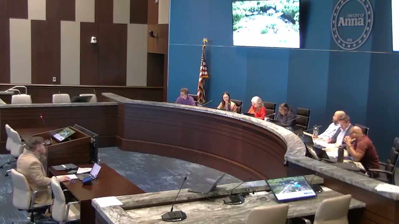
The Parks and Recreation Advisory Board on Feb. 17 voted to recommend the City Council adopt the 2050 parks, open space, trail and recreation master plan and asked staff to add floodplain boundaries to plan maps to improve trail and site decision-making.
The Anna Parks and Recreation Advisory Board voted Feb. 17 to recommend that the City Council adopt the city's 2050 parks, open space, trail and recreation master plan and asked staff to add floodplain boundaries to the plan's maps.
Wilson Kerr, project manager for Friese and Nichols, told the board the plan is the product of an 11-month process that used community surveys, stakeholder meetings and standards-based analysis to set priorities for the next decade. "We think that's the most likely scenario moving forward," Kerr said of the plan's 5.5% growth projection and the expectation the city could reach roughly 50,000 residents in 10 years.
The plan recommends six strategic goals including acquiring parkland, enhancing and diversifying amenities, expanding the trail network, broadening recreational opportunities for all ages and abilities, ensuring parks are safe and well maintained, and pursuing partnerships and funding sources. Kerr said the plan includes a prioritized implementation table with short-, mid- and long-term timeframes and early order-of-magnitude cost ranges to guide future budgeting and grant applications.
Jeffrey, acting director of community services, told the board staff will bring the board's recommendation to City Council after the board's vote. Jeffrey reminded members that procurement rules require competitive bidding and that specific vendors discussed in previous meetings will be considered through that established process.
During discussion a board member asked that floodplain boundaries be added to the trails map so planners and residents can see creek corridors in relation to proposed connections. Kerr agreed to add floodplain mapping where appropriate but cautioned that some steep creek drop-offs may not show conventional floodplain polygons.
A board member moved to approve the recommendation to council with the added direction to include floodplain boundaries on the maps; the motion was seconded and the chair announced the motion carried. The board also adopted the Jan. 20 meeting minutes earlier in the same session.
Next steps: staff will include the board's recommendation and the requested mapping change in the packet for the City Council work session scheduled in early March, with council consideration and potential adoption later in March.