Get Full Government Meeting Transcripts, Videos, & Alerts Forever!
Get email alerts on the Drainage Ditch 10 topic
No spam. Unsubscribe anytime.
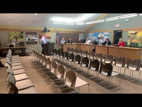
Council reviews Garrett Lane/Ditch 10 drainage study and plans to pursue county connection
Summary
Staff presented a feasibility study proposing to connect wetlands near Garrett Lane to the county Ditch 10 system to reduce historic flooding near Red Sand Lake; the study estimates roughly $145,000 for ditch cleaning and calls for petitioning the county under a statute cited in the report.
Presenter (speaker 2) told the council that the Garrett Lane portion of the Ditch 10 drainage study shows how wetlands and existing low points flow toward Red Sand Lake and that a 2019 emergency culvert under Englewood Drive relieved east-side flooding but left no defined outlet for that water. "Back in 2019, this area experienced a lot of flooding, and there was an emergency project done to put a culvert underneath the roadway in this area right here," the presenter said.
The study recommends connecting the wetlands to the county's Ditch 10 system, cleaning an overgrown defined ditch, and constructing several shallow ditch sections to carry flows west without flooding private parcels. The presenter said a previous emergency installation included an 18-inch culvert and that proposed work would include shallow ditching that has been used elsewhere in town.
Cost estimates discussed at the meeting included about $60,000 for cleaning an existing ditch segment and roughly $90,000 for the stretch between Garrett Lane and Danville Drive, yielding a roughly $145,000 subtotal for the ditch work discussed. Presenter (speaker 2) said the city would begin talks with county staff and, if the city moves forward, it would file a petition to connect to the county ditch system; he cautioned the county would determine any usage fee and the city could be liable for future maintenance assessments on the county ditch district.
Council members asked whether the overflow would increase flow to Red Sand Lake. A council member responded that the overflow is flood-control infrastructure and "only anything above the hundred year design in that area would go over into this ditch to Red Sand Lake." The presenter and others noted that some of the mapping was based on 2019 LIDAR and suggested ground‑truthing with updated GIS data.
The presenter also noted procedural constraints: the city attorney will draft a precursor letter to the county and the petition process will require repair plans and exhibits and compliance with the county's ditch procedures (the presenter cited a Minnesota statute during the discussion as governing county ditch connections).
Next steps: council approved acceptance of the Englewood Drive to Garrett Lane overflow control study as part of the consent agenda and staff will initiate talks with the county and refine plans and cost estimates before any formal petition.