Get Full Government Meeting Transcripts, Videos, & Alerts Forever!
Get email alerts on the Stormwater topic
No spam. Unsubscribe anytime.
Residents press New Providence council for clearer stormwater plan; council approves stormwater mapping contract
Summary
Residents described repeated flooding since the July 14 storm and urged clearer milestones and collaboration. Councilors said multi‑year work is underway, announced a $25,000 NJDEP grant and approved a Colliers Engineering proposal for stormwater mapping and GIS work.
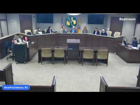
At Monday’s council meeting, residents pressed borough officials for clearer, faster action after repeated flooding tied to the July 14 storm and earlier events.
A representative of the RISE NP Task Force told the council it has received “no substantive update in three months” and asked for concrete milestones and regular public communication. The representative said residents are ready to help — writing letters, petitioning and amplifying the issue — but need clearer expectations from borough leadership.
Mayor (presiding official) responded that the borough has been working on the problem for years and described large, ongoing expenses: “we have spent almost 3 quarters of $1,000,000 so far this year to upgrade the flume, pipes and everything else,” he said, noting municipal attempts to coordinate with neighboring towns and federal representatives for funding.
Council members and staff highlighted two near‑term elements they said will feed into clearer public updates: a Colliers Engineering Design Inc. contract to perform stormwater field data collection, mapping and preliminary watershed work, and a $25,000 NJDEP grant to support that mapping. A council member said the Colliers work will include drone/video mapping and GIS deliverables that will be posted on the borough’s website once the project is complete.
Residents gave several on‑the‑ground examples of damage and system failures: one Central Avenue homeowner said the July 14 storm produced 3–4 feet of water in a backyard and urged the council to require developers to fund or support infrastructure fixes. Another resident described repeated sewer easement and low‑spot flooding that overwhelms sump pumps.
Councilors acknowledged the urgency but repeatedly framed the problem as regional and multi‑year, saying federal funding, DEP approvals and engineering complexities limit how quickly large fixes can be completed. Council members urged the stormwater committee and the Colliers mapping effort to use residents’ observations to prioritize “hot spots” and to publish interim findings. The council also discussed the feasibility of retention basins on town‑owned or Green Acres parcels but said detailed feasibility will depend on Colliers’ mapping and engineering analysis.
Action noted in the meeting record: the council approved the consent agenda (items 1–15) by roll call, and the meeting record includes a resolution to accept Colliers’ proposal for municipal stormwater mapping; the Colliers scope and the NJDEP grant were discussed as the funding source for initial mapping. Councilors said the completed mapping will be made publicly available in a readable form when finalized.
The borough’s next steps, as stated in the meeting, are Colliers’ field and GIS mapping, continued stormwater committee meetings and regular public updates once deliverables are available. Residents said they will hold the borough to quarterly, tangible milestones if possible.