Get Full Government Meeting Transcripts, Videos, & Alerts Forever!
Get email alerts on the Subdivision Variance topic
No spam. Unsubscribe anytime.
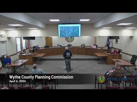
Planning commission approves Hager subdivision variance after right-of-way realignment
Summary
Wythe County planners approved a variance allowing John and Linda Hager to subdivide about 42.9 acres from a 131.4-acre tract on State Route 610 after staff and applicants said the new parcel would otherwise be nonconforming and the applicants shifted a private right-of-way to avoid steep terrain.
The Wythe County Planning Commission on April 6 approved a variance allowing John and Linda Hager to subdivide roughly 42.868 acres from a 131.439-acre parcel on State Route 610 (Pampers Ferry Road) in the Fort Chishol magisterial district.
Staff told the commission that the proposed lot would not meet the 100-foot state-maintained road frontage required under the subdivision ordinance, and that the Hagers seek relief under section 5.3 0.18 of the county ordinance because the division otherwise would create a nonconforming lot. Staff said the applicants revised their access plan to move the private right-of-way away from a steeper, less buildable corridor.
An applicant representative described the revised alignment as following an existing family access line and gate near a graveyard to avoid the steep slope on the originally proposed alignment. The county surveyor at the podium said, “The variance that you guys approved would still be the same. It's just changing the private right away location.”
Commissioners discussed slope and frontage constraints and then voted to approve the variance after a motion to accept the application "as presented." The roll call in the meeting record shows unanimous affirmative votes on the motion.
Because the approval grants a local variance under the subdivision ordinance, the applicants will proceed with plat recording and any subsequent deeds or appeals must follow the county’s standard recording and land-record procedures. The commission did not note additional conditions beyond the revised right-of-way alignment described at the hearing.
The planning commission's next regular meeting is scheduled for May 4 at 6 p.m.; applicants and the public may return if further documentation or recording is necessary.