Get Full Government Meeting Transcripts, Videos, & Alerts Forever!
Get email alerts on the Zoning Gis Flags topic
No spam. Unsubscribe anytime.
Zoning director proposes GIS parcel flags, outlines appeals process as UDO update lags
Summary
Director Shannon told the Lancaster County Board of Zoning Appeals that code enforcement and administrative appeals are handled by zoning staff, and proposed marking parcels in GIS that previously received variances or appeals; board members discussed the long-running UDO update and an offered office tour.
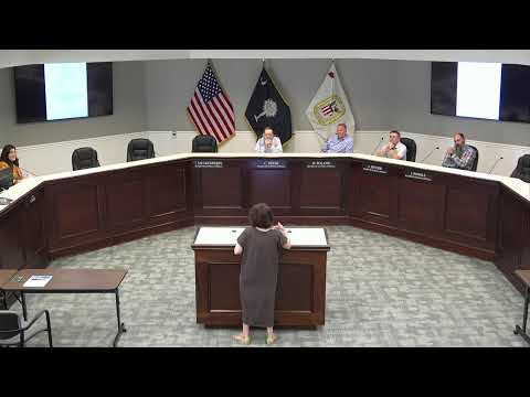
Chair Charles Deese called the Lancaster County Board of Zoning Appeals to order and yielded the floor to Director Shannon, who briefed the board on how the department handles code enforcement, administrative appeals and land-use exceptions.
"One thing that's not touched on in here is code enforcement is in our department as well," Director Shannon said, explaining that when the department issues a violation letter property owners have 30 days to file an administrative appeal; if they do not, staff can pursue a summons to appear in court. She said variances require applicants to demonstrate hardship under the ordinance's four criteria and that special exceptions have separate approval standards.
Shannon proposed a practical change to how staff tracks prior zoning decisions: flagging parcels in the county GIS so reviewers and potential buyers can see if a property has a history of variances, special exceptions or administrative appeals. "We may not be able to get the pass, but we may be able to go to with the forward doing those things on the variances," she said, describing coordination with the GIS/IT team and noting the possibility of a visible marker such as an asterisk attached to parcel records.
A board member called the idea "a grand idea" and said it should be publicly viewable so users can see rezoning history, development agreements and other constraints. "I assume that would probably that would be available for public viewing too," the committee member said. Shannon and the chair agreed the step would give staff and the public better context before permits are issued.
Board members also raised the broader context of the county's Unified Development Ordinance (UDO) update, noting the consultant-driven process has stretched well beyond an earlier 18–20 month schedule. "It's been 5 years ago, almost 6 now and it's still not complete," Chair Deese said, adding that revisions and stakeholder input have repeatedly extended the timeline. Shannon said consultants are still working on edits and that the county hopes to present revisions to the planning commission when ready.
Shannon offered to host a demonstration and tour of the zoning office software and permitting workflow for board members so they can see how permits and plan review are processed. A board member suggested scheduling a future session at 4 p.m. to allow members to observe without requiring staff to work late; the chair said he would coordinate with Shannon and other members to find a suitable date.
The briefing lays out procedural steps county staff use when enforcing zoning rules and shows a practical, software-based proposal to surface prior land-use decisions to reviewers and the public. The board did not take a formal vote on the GIS flagging proposal during this meeting; staff agreed to follow up on feasibility with IT and the GIS team.