Get Full Government Meeting Transcripts, Videos, & Alerts Forever!
Get email alerts on the Comprehensive Plan topic
No spam. Unsubscribe anytime.
Oak Ridge council reviews draft comprehensive plan as staff seeks public input and flags DOE land
Summary
City planning staff presented a draft 10–20 year comprehensive plan that maps future land use, small‑area plans and an implementation timetable; council members urged clearer treatment of DOE property and waterfront planning before the draft goes online for public comment.
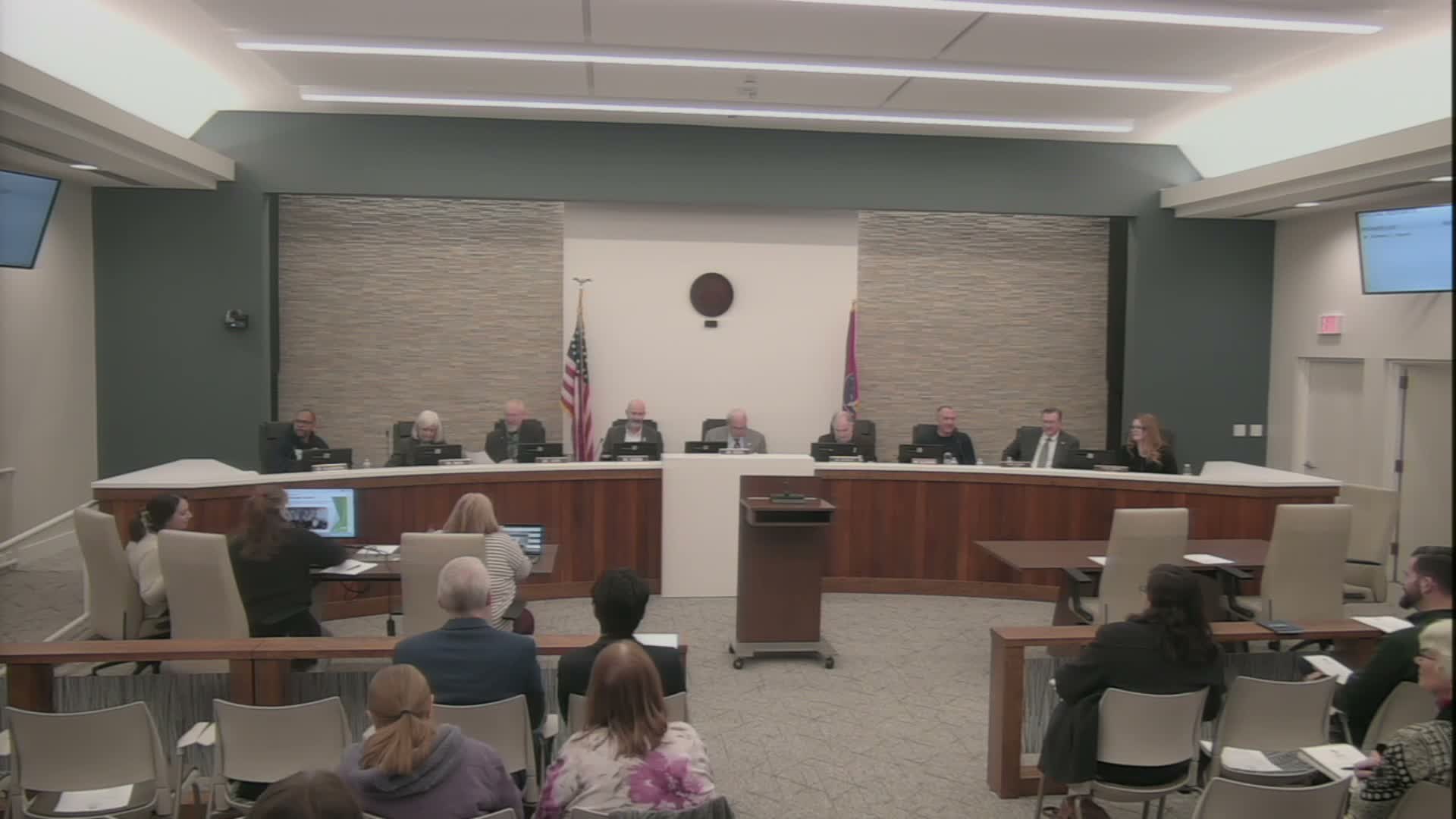
City planning staff presented a draft comprehensive land‑use plan to the Oak Ridge City Council at its regular December meeting, outlining a community vision, five small‑area plans and an implementation matrix that staff said will guide updates to the zoning code and future development decisions.
“This is a draft document and we’re here to get feedback from you all as City Council members,” Jennifer Williams said during the presentation, describing the plan as a 60,000‑foot view that will be followed by zoning map amendments and more detailed zoning work.
The plan’s community‑snapshot chapter sets baseline conditions — demographic data, existing land use and a map staff noted shows Department of Energy (DOE) land as the single largest land category, about 61% of the total area. Consultants and staff emphasized wide public engagement: pop‑up events, 18 stakeholder meetings, an ambassador program and an online map tool that allowed residents to drop pins and comment.
Council members pressed staff on several specifics. Councilman Hensley urged a more visionary approach for the large DOE‑owned “gray” area and the city’s waterfront, saying those open spaces are “one of the greatest resources this city has” and merit a separate, strategic look. Staff replied that the plan includes future‑use classifications for DOE parcels but that formal rezoning typically occurs after property transfers; staff said they will continue to coordinate with DOE and the city’s industrial development partners.
Members also asked for clearer map legends and an online GIS version; staff said they will publish the edited draft online before the January planning‑commission review and aim to bring a plan back for adoption in February 2026. The presentation emphasized implementation, with short‑term (1–3 years), medium‑term (4–6 years) and longer projects tied to a code rewrite, small‑area projects and transportation initiatives.
The council did not vote on the plan that evening; staff said edits from the meeting and planning commission feedback will be incorporated and a public posting and formal comment period will follow. The planning department invited further written input and said it will notify the public when the draft is available.