Walton County planning board narrowly recommends VMU rezoning for 19.9‑acre Huffman property, 4–3
Loading...
Summary
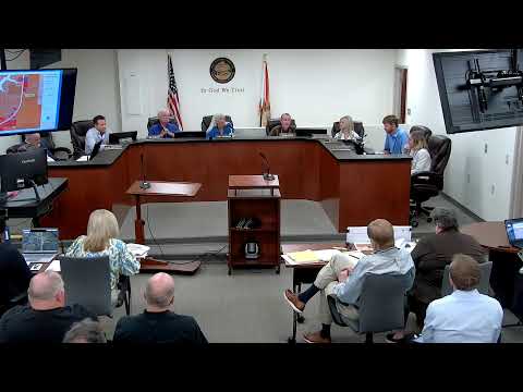
After a public hearing with multiple residents objecting to clearing, wetlands and traffic impacts, Walton County planning staff and the planning board recommended approval of a future‑land‑use amendment and rezoning (FLU26000001) to village mixed use for a 19.9‑acre parcel on Highway 331 and forwarded the matter to the Board of County Commissioners by a 4–3 vote.
The Walton County planning board recommended approval, by a 4–3 vote, of a future‑land‑use amendment and rezoning request for a 19.9‑acre parcel on Highway 331 (project FLU26000001), forwarding the application to the Board of County Commissioners for final action.
Senior Planner Ayanna Reid, who prepared the staff report, told the board the application seeks to change the future land use from rural residential to mixed use and rezone the property from rural village to village mixed use; the staff report and an updated floodplain compliance review were entered into the record. Reid said water and sewer service would be provided by the City of Freeport and that the applicant’s amendment analysis aligns with policies in the Walton County comprehensive plan.
Gary Shipman, attorney for the applicant (Dunlap and Shipman PA), framed the item as a legislative determination and cited the 2011 Community Planning Act and the county’s 331 corridor economic plan as legal and policy bases for allowing mixed‑use development along Highway 331. "This is only about zoning today," Shipman said, adding that any actual development would require a later development‑order review, buffering and, if necessary, an administrative‑law hearing.
Melissa Ward, the applicant’s certified planner, walked the board through the submitted exhibits — including a traffic study and environmental assessment — and said portions of the parcel lie in an unnumbered FEMA flood zone A and contain wetlands that were identified in the environmental study. Ward noted village mixed use (VMU) limits building height to four stories in the VMU district, requires a residential component and urban‑design features such as walkability and open space, and is less intensive than general commercial zoning.
During public comment, several nearby residents warned of compatibility problems, alleged that vegetation had been cleared on the site before wetlands were fully delineated, and raised concerns about traffic and the prospect of hundreds of rental units. Baxter Winfrey, a resident of Waterside Lane, said, "This place is more than just to make money. It's a place where we have a culture." Jeffrey Hopkins, also a Waterside Lane resident, said bulldozing had reduced wildlife and called the proposed change "a negative impact for those of us who live there."
Planning staff and legal counsel told the board that alleged clearing or code violations are handled through county code enforcement and, unless a code case is filed, enforcement is separate from the legislative consistency decision. Staff also noted that, as of the date of the staff report, there were no open liens, fines or active code enforcement cases on the parcel.
Commissioners questioned floodplain manager comments attached to the staff report and asked how increases in impervious surface might affect neighboring properties; legal counsel reiterated courts test rezonings against the comprehensive plan to determine whether changes are arbitrary or capricious. Several commissioners stressed that compatibility issues are addressed at the development‑order stage but said compatibility concerns voiced by neighbors should be included in the record sent to the Board of County Commissioners.
A motion to recommend approval carried 4–3; the board’s recommendation and the discussion record now go to the Board of County Commissioners. The staff report identifies the parcel and includes maps and supporting exhibits; the transcript did not include an explicit parcel number in the public record read aloud during the hearing (the staff report packet contains that identifier).